File:Abbasids786-809.png

Size of this preview: 800 × 487 pixels. Other resolutions: 320 × 195 pixels | 640 × 390 pixels | 1,024 × 624 pixels | 1,481 × 902 pixels.
Original file (1,481 × 902 pixels, file size: 30 KB, MIME type: image/png)
Captions
Captions
Add a one-line explanation of what this file represents
Summary edit
| Description |
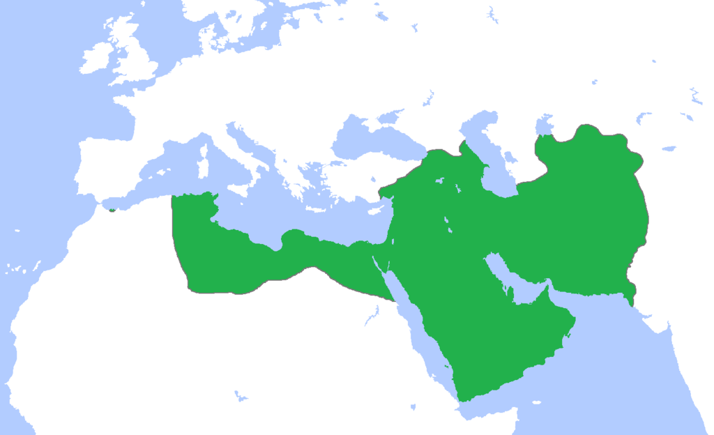
English: Map of the Abbasid Caliphate at its greatest extent, c. 786-809.
(Partially based on Atlas of World History (2007) - Progress of Islam, map) |
| Date | |
| Source | Own work |
| Author | Gabagool |
Licensing edit
I, the copyright holder of this work, hereby publish it under the following license:
This file is licensed under the Creative Commons Attribution 3.0 Unported license.
- You are free:
- to share – to copy, distribute and transmit the work
- to remix – to adapt the work
- Under the following conditions:
- attribution – You must give appropriate credit, provide a link to the license, and indicate if changes were made. You may do so in any reasonable manner, but not in any way that suggests the licensor endorses you or your use.
File history
Click on a date/time to view the file as it appeared at that time.
| Date/Time | Thumbnail | Dimensions | User | Comment | |
|---|---|---|---|---|---|
| current | 22:25, 4 August 2016 | | 1,481 × 902 (30 KB) | Omar-toons (talk | contribs) | Bahrain to Abbasids + the Emirate of Nekor recognized the Abbasid caliphs as its suzerains |
| 16:35, 17 March 2012 |  | 1,481 × 902 (50 KB) | Cplakidas (talk | contribs) | Corrections: the conquest of Sicily began in the 820s, and Corsica and Sardinia were only raided and at most temporarily occupied, and then far later than the period given here | |
| 20:37, 15 May 2009 |  | 1,481 × 902 (50 KB) | Gabagool (talk | contribs) | {{Information |Description={{en|1=Map of the Abbasid Caliphate at its greatest extent, c. 786-809. (Partially based on ''Atlas of World History'' (2007) - Progress of Islam, map)}} |Source=Own work by uploader |Author=Gabagool / Jarle G |
You cannot overwrite this file.
File usage on Commons
The following 2 pages use this file:
File usage on other wikis
The following other wikis use this file:
- Usage on ar.wikipedia.org
- Usage on ba.wikipedia.org
- Usage on en.wikipedia.org
- Usage on fr.wikipedia.org
- Usage on it.wikipedia.org
- Usage on nl.wikipedia.org
- Usage on oc.wikipedia.org
- Usage on ru.wikipedia.org
- Usage on simple.wikipedia.org