File:Achaemenid Empire ~480 BC.png
No higher resolution available.
Achaemenid_Empire_~480_BC.png (600 × 425 pixels, file size: 17 KB, MIME type: image/png)
Captions
Captions
Add a one-line explanation of what this file represents
Summary edit
| Description |
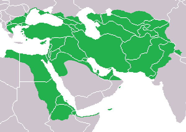
English: Map of the Achaemenid Empire at its greatest extent by around ~480 BC. |
| Date | |
| Source | Own work |
| Author | Aeaige |
Licensing edit
| I, the copyright holder of this work, release this work into the public domain. This applies worldwide. In some countries this may not be legally possible; if so: I grant anyone the right to use this work for any purpose, without any conditions, unless such conditions are required by law. |
File history
Click on a date/time to view the file as it appeared at that time.
| Date/Time | Thumbnail | Dimensions | User | Comment | |
|---|---|---|---|---|---|
| current | 21:04, 5 September 2009 | | 600 × 425 (17 KB) | Aeaige (talk | contribs) | Fixed Arabia Petraea. |
| 10:21, 9 August 2009 |  | 600 × 425 (17 KB) | Aeaige (talk | contribs) | {{Information |Description={{en|1=Map of the Achaemenid Empire at its greatest extent by around ~480 BC. }} |Source=Own work by uploader |Author=Aeaige |Date=2009-08-09 |Permission=See below. |other_versions= }} [[Category:Maps of the Ac |
You cannot overwrite this file.
File usage on Commons
The following 4 pages use this file:
File usage on other wikis
The following other wikis use this file:
- Usage on ar.wikipedia.org
- Usage on ckb.wikipedia.org
- Usage on hr.wikipedia.org
- Usage on hu.wikipedia.org
- Usage on id.wikipedia.org
- Usage on is.wikipedia.org
- Usage on it.wikipedia.org
- Usage on kk.wikipedia.org
- Usage on sl.wikipedia.org
- Usage on sq.wikipedia.org
- Usage on tl.wikipedia.org
- Usage on yo.wikipedia.org