File:Across the Allen valley - geograph.org.uk - 730072.jpg
No higher resolution available.
Across_the_Allen_valley_-_geograph.org.uk_-_730072.jpg (640 × 480 pixels, file size: 72 KB, MIME type: image/jpeg)
Captions
Captions
Add a one-line explanation of what this file represents
Summary edit
| Description |
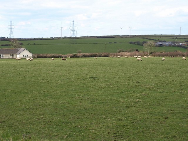
English: Across the Allen valley The upper valley of the infant river, seen from the B3266 between Camelford and Boscastle. Bridleway 507/23/1 runs past the bungalow on the left, keeping parallel with the road. Trethern Farm is on the far side of the valley. Behind the pylons and out of square are some of the turbines of Delabole Wind Farm. |
| Date | |
| Source | From geograph.org.uk |
| Author | Derek Harper |
| Attribution (required by the license) | Derek Harper / Across the Allen valley / |
| Camera location | | View this and other nearby images on: OpenStreetMap |
|---|
_heading:292.00&language=en)
| Object location | | View this and other nearby images on: OpenStreetMap |
|---|
_heading:292.00&language=en)
Licensing edit

|
This image was taken from the Geograph project collection. See this photograph's page on the Geograph website for the photographer's contact details. The copyright on this image is owned by Derek Harper and is licensed for reuse under the Creative Commons Attribution-ShareAlike 2.0 license.
|
This file is licensed under the Creative Commons Attribution-Share Alike 2.0 Generic license.
Attribution: Derek Harper
- You are free:
- to share – to copy, distribute and transmit the work
- to remix – to adapt the work
- Under the following conditions:
- attribution – You must give appropriate credit, provide a link to the license, and indicate if changes were made. You may do so in any reasonable manner, but not in any way that suggests the licensor endorses you or your use.
- share alike – If you remix, transform, or build upon the material, you must distribute your contributions under the same or compatible license as the original.
File history
Click on a date/time to view the file as it appeared at that time.
| Date/Time | Thumbnail | Dimensions | User | Comment | |
|---|---|---|---|---|---|
| current | 07:14, 19 February 2011 | | 640 × 480 (72 KB) | GeographBot (talk | contribs) | == {{int:filedesc}} == {{Information |description={{en|1=Across the Allen valley The upper valley of the infant river, seen from the B3266 between Camelford and Boscastle. Bridleway 507/23/1 runs past the bungalow on the left, keeping parallel with the ro |
You cannot overwrite this file.
File usage on Commons
There are no pages that use this file.