File:Aerial view of Seattle Freeway and Highway 99 cloverleaf in Seattle.jpg

Size of this preview: 800 × 600 pixels. Other resolutions: 320 × 240 pixels | 640 × 480 pixels | 1,024 × 768 pixels | 1,280 × 960 pixels | 2,560 × 1,920 pixels | 3,264 × 2,448 pixels.
Original file (3,264 × 2,448 pixels, file size: 6.38 MB, MIME type: image/jpeg)
Captions
Captions
Add a one-line explanation of what this file represents
Summary edit
| Description |
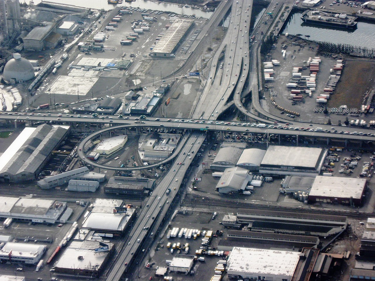
English: Closeup aerial view of cloverleaf intersection of the West Seattle Freeway (running top to bottom) and Highway 99 in Seattle, looking west. Duwamish Waterway in upper right corner, industrial district surrounding. At bottom, the West Seattle Freeway runs on the Spokane Street Viaduct toward Interstate 5. Near the top of this photo are the approaches to the West Seattle Bridge. |
||
| Date | |||
| Source | Own work | ||
| Author | Dcoetzee | ||
| Permission (Reusing this file) |
|
| Camera location | | View this and other nearby images on: OpenStreetMap |
|---|
File history
Click on a date/time to view the file as it appeared at that time.
| Date/Time | Thumbnail | Dimensions | User | Comment | |
|---|---|---|---|---|---|
| current | 08:12, 3 June 2009 | | 3,264 × 2,448 (6.38 MB) | Dcoetzee (talk | contribs) | {{Information |Description={{en|1=Closeup aerial view of Seattle Freeway crossing Harbor Island in Seattle, looking west. The Duwamish Waterway surrounds it. The highway running along the bottom is Highway 99.}} |Source=Own work by uploader |Author=[[User |
You cannot overwrite this file.
File usage on Commons
The following page uses this file:
File usage on other wikis
The following other wikis use this file:
- Usage on en.wikipedia.org