File:Aerial view of fields in central California.jpg
Size of this preview: 800 × 544 pixels. Other resolutions: 320 × 218 pixels | 640 × 435 pixels | 1,024 × 696 pixels | 1,280 × 870 pixels | 2,700 × 1,836 pixels.
Original file (2,700 × 1,836 pixels, file size: 1.47 MB, MIME type: image/jpeg)
Captions
Captions
Add a one-line explanation of what this file represents
| Description |
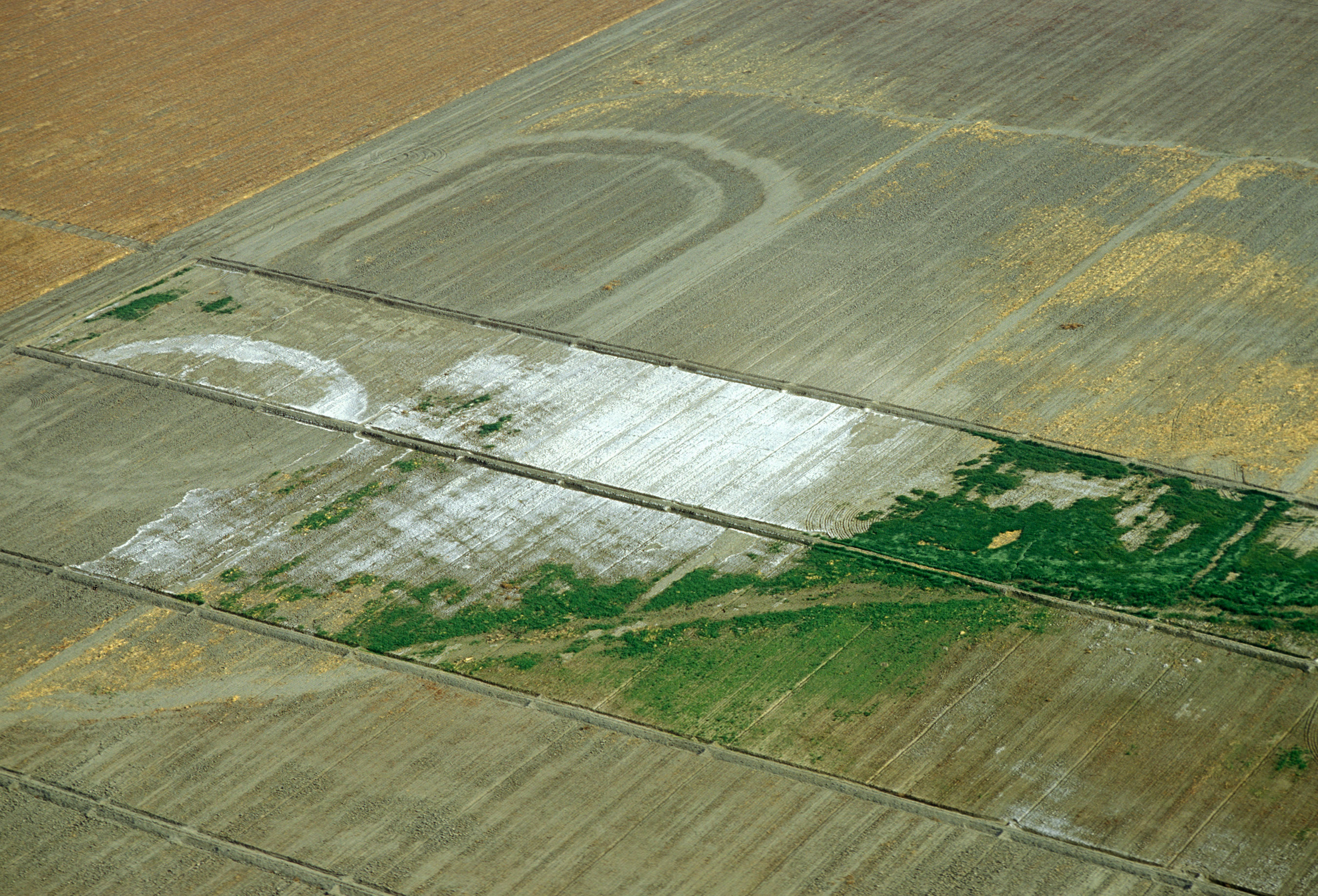
Deutsch: Luftaufnahme von hochgradig versalzten Feldern in Zentral-Kalifornien (westliches San Joaquin Valley). English: Aerial view of fields in central California (western San Joaquin Valley) suffering from severe salinization. |
||
| Source |
|
||
| Author | Scott Bauer | ||
| Permission (Reusing this file) |
PD-USGov-USDA-ARS |
| This image is in the public domain because it contains materials that originally came from the Agricultural Research Service, the research agency of the United States Department of Agriculture.
|
File history
Click on a date/time to view the file as it appeared at that time.
| Date/Time | Thumbnail | Dimensions | User | Comment | |
|---|---|---|---|---|---|
| current | 23:55, 30 August 2005 | | 2,700 × 1,836 (1.47 MB) | Rachel (talk | contribs) | {{Information| |Description = Aerial view of fields in central California (western San Joaquin Valley) suffering from severe salinization. |Source = [http://www.ars.usda.gov/is/graphics/photos/ USDA Agriculture Research Service photo gallery], Image Numbe |
You cannot overwrite this file.
File usage on Commons
There are no pages that use this file.
File usage on other wikis
The following other wikis use this file:
- Usage on de.wikipedia.org
- Usage on fr.wikipedia.org
- Usage on ja.wikipedia.org
- Usage on nn.wikipedia.org