File:Aeroporto Internacional de Campo Grande - panoramio - Rodrigo Santos (1).jpg

Size of this preview: 800 × 450 pixels. Other resolutions: 320 × 180 pixels | 640 × 360 pixels | 1,024 × 576 pixels | 1,280 × 720 pixels | 2,560 × 1,440 pixels | 3,890 × 2,188 pixels.
Original file (3,890 × 2,188 pixels, file size: 571 KB, MIME type: image/jpeg)
Captions
Captions
Add a one-line explanation of what this file represents
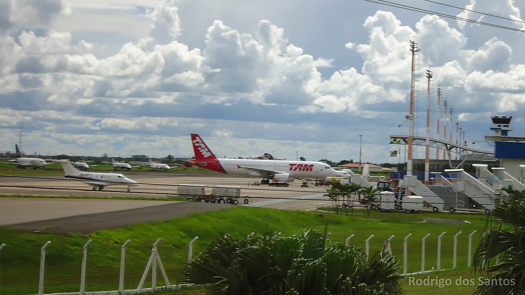
| Description | Aeroporto Internacional de Campo Grande | ||
| Date | 31 January 2011 (original upload date) | ||
| Source | https://web.archive.org/web/20161016221012/http://www.panoramio.com/photo/47396074 | ||
| Author | Rodrigo_Santos | ||
| Permission (Reusing this file) |
This file is licensed under the Creative Commons Attribution 3.0 Unported license. Attribution: Rodrigo_Santos
|
| Camera location | | View this and other nearby images on: OpenStreetMap |
|---|
.jpg¶ms=-20.456478_N_-054.667530_E_globe:Earth_type:camera_source:Panoramio_&language=en)
File history
Click on a date/time to view the file as it appeared at that time.
| Date/Time | Thumbnail | Dimensions | User | Comment | |
|---|---|---|---|---|---|
| current | 14:32, 9 November 2016 | | 3,890 × 2,188 (571 KB) | Panoramio upload bot (talk | contribs) | {{Information |description=Aeroporto Internacional de Campo Grande |date={{Original upload date|2011-01-31}} |source=http://www.panoramio.com/photo/47396074 |author=[http://www.panoramio.com/user/5395068?with_photo_id=47396074 Rodrigo_Santos] |permissi... |
You cannot overwrite this file.
File usage on Commons
The following page uses this file:
File usage on other wikis
The following other wikis use this file:
- Usage on de.wikipedia.org
- Usage on id.wikipedia.org
- Usage on ja.wikipedia.org
.jpg&oldid=785767131)