File:Air New Zealand Link Q300 ZK-NESat WLG (33007135371).jpg
Size of this preview: 800 × 600 pixels. Other resolutions: 320 × 240 pixels | 640 × 480 pixels | 1,024 × 768 pixels | 1,280 × 960 pixels | 2,560 × 1,920 pixels | 3,264 × 2,448 pixels.
Original file (3,264 × 2,448 pixels, file size: 1.91 MB, MIME type: image/jpeg)
Captions
Captions
Add a one-line explanation of what this file represents
Summary edit
.jpg&action=edit§ion=1)
| Description |
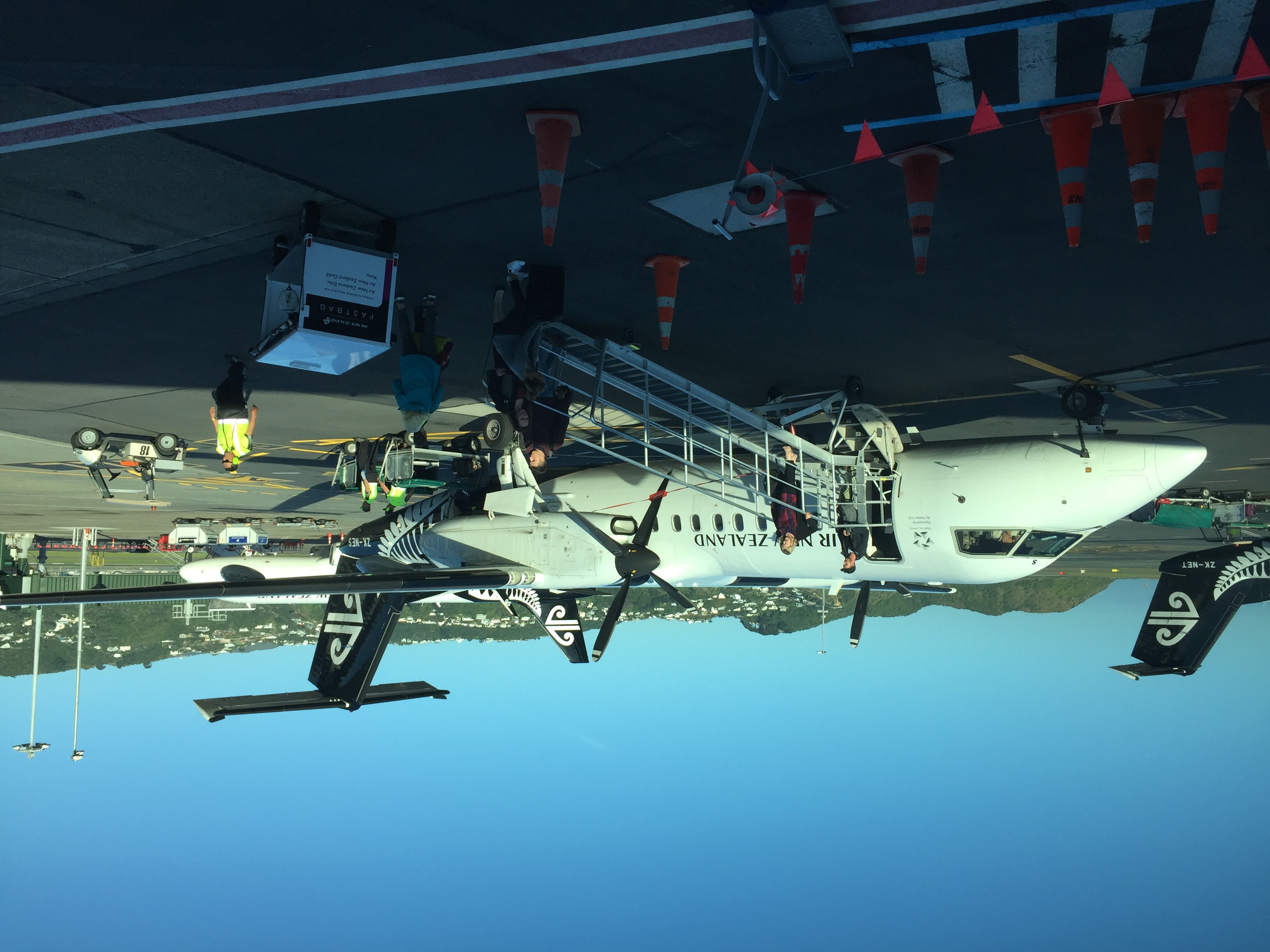
My ride from Palmerston North on a bright and sunny Monday morning. The flight is one of NZ's few multi stoppers coming from Hamilton. The flight is always packed even though the PMR-WLG trip is only 20 minutes |
| Date | |
| Source | Air New Zealand Link Q300 ZK-NESat WLG |
| Author | G B_NZ |
| Camera location | | View this and other nearby images on: OpenStreetMap |
|---|
.jpg¶ms=-41.330342_N_0174.810378_E_globe:Earth_type:camera_alt:-15.590667_source:exif_heading:2.88&language=en)
Licensing edit
.jpg&action=edit§ion=2)
This file is licensed under the Creative Commons Attribution-Share Alike 2.0 Generic license.
- You are free:
- to share – to copy, distribute and transmit the work
- to remix – to adapt the work
- Under the following conditions:
- attribution – You must give appropriate credit, provide a link to the license, and indicate if changes were made. You may do so in any reasonable manner, but not in any way that suggests the licensor endorses you or your use.
- share alike – If you remix, transform, or build upon the material, you must distribute your contributions under the same or compatible license as the original.
| This image was originally posted to Flickr by gordon.bevan@xtra.co.nz at https://flickr.com/photos/130275500@N02/33007135371. It was reviewed on 13 April 2017 by FlickreviewR and was confirmed to be licensed under the terms of the cc-by-sa-2.0. |
File history
Click on a date/time to view the file as it appeared at that time.
| Date/Time | Thumbnail | Dimensions | User | Comment | |
|---|---|---|---|---|---|
| current | 12:03, 13 April 2017 | | 3,264 × 2,448 (1.91 MB) | Wilfredor (talk | contribs) | Transferred from Flickr via Flickr2Commons |
You cannot overwrite this file.
File usage on Commons
The following page uses this file:
.jpg&oldid=877784247)