File:Al-annapark.jpg
Size of this preview: 800 × 600 pixels. Other resolutions: 320 × 240 pixels | 640 × 480 pixels | 1,024 × 768 pixels | 1,175 × 881 pixels.
Original file (1,175 × 881 pixels, file size: 321 KB, MIME type: image/jpeg)
Captions
Captions
Add a one-line explanation of what this file represents
Summary
edit
| Description |
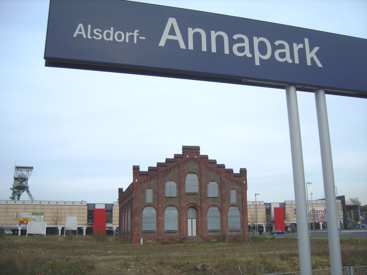
Deutsch: Euregiobahn-Haltepunktschild Alsdorf-Annapark mit Förderturm und Zechengebäude im Hintergrund |
| Date | |
| Source | Own work |
| Author | Eschweiler at German Wikipedia |
| Camera location | | View this and other nearby images on: OpenStreetMap |
|---|
Licensing
edit
| This work has been released into the public domain by its author, Eschweiler at German Wikipedia. This applies worldwide. In some countries this may not be legally possible; if so: Eschweiler grants anyone the right to use this work for any purpose, without any conditions, unless such conditions are required by law. |
Original upload log
edit
The original description page was here. All following user names refer to de.wikipedia.
- 2007-02-17 18:05 Eschweiler 1175×881×8 (328578 bytes) {{Information |Beschreibung=[[Euregiobahn]]-Haltepunktschild ''[[Alsdorf]]-[[Grube Anna#Haltepunkt Alsdorf-Annapark|Annapark]]'' mit Förderturm und Zechengebäude im Hintergrund |Quelle=selbst fotografiert |Urheber=~~~ |Datum=Februar 2007 |Genehmigung= |
File history
Click on a date/time to view the file as it appeared at that time.
| Date/Time | Thumbnail | Dimensions | User | Comment | |
|---|---|---|---|---|---|
| current | 19:53, 2 April 2008 | | 1,175 × 881 (321 KB) | File Upload Bot (Magnus Manske) (talk | contribs) | {{BotMoveToCommons|de.wikipedia}} {{Information |Description={{de|de:Euregiobahn-Haltepunktschild ''de:Alsdorf-Annapark'' mit Förderturm und Zechengebäude im Hintergrund}} |Source=Transferred fro |
You cannot overwrite this file.
File usage on Commons
The following page uses this file:
File usage on other wikis
The following other wikis use this file:
- Usage on de.wikipedia.org
- Usage on nl.wikipedia.org