File:Alaskan Pipeline.jpg
Size of this preview: 800 × 521 pixels. Other resolutions: 320 × 209 pixels | 640 × 417 pixels | 1,024 × 667 pixels | 1,280 × 834 pixels | 3,008 × 1,960 pixels.
Original file (3,008 × 1,960 pixels, file size: 4.27 MB, MIME type: image/jpeg)
File information
Structured data
Captions
Summary
editDescriptionAlaskan Pipeline.jpg |
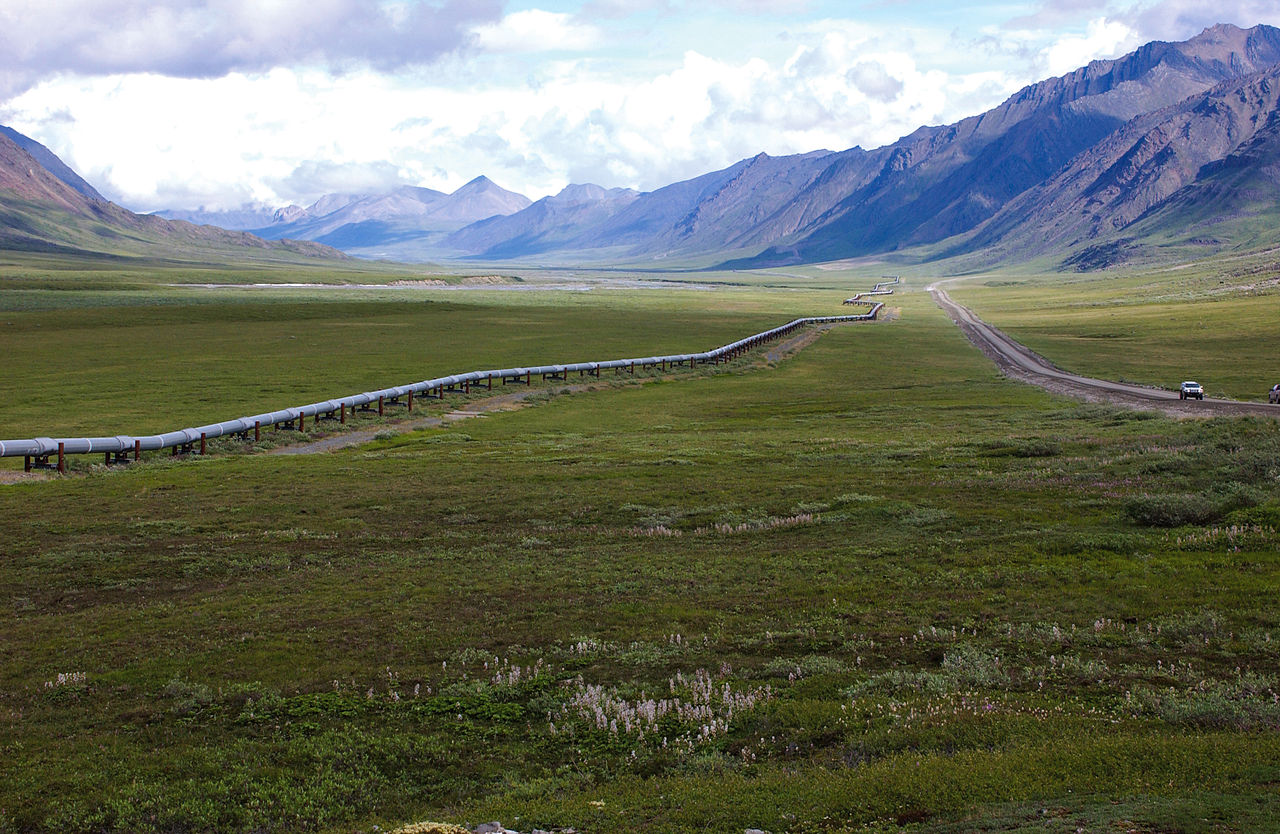
English: Trans-Alaska Pipeline, northern Brooks Range, Alaska. Rocks in the background produce oil on the North Slope. |
Date | |
Source | https://www.flickr.com/photos/27784370@N05/14615413920/ |
Author | U.S. Geological Survey |
Licensing
editThis image was originally posted to Flickr. Its license was verified as "cc-by-2.0" by the UploadWizard Extension at the time it was transferred to Commons. See the license information for further details. |
This file is licensed under the Creative Commons Attribution 2.0 Generic license.
- You are free:
- to share – to copy, distribute and transmit the work
- to remix – to adapt the work
- Under the following conditions:
- attribution – You must give appropriate credit, provide a link to the license, and indicate if changes were made. You may do so in any reasonable manner, but not in any way that suggests the licensor endorses you or your use.
File history
Click on a date/time to view the file as it appeared at that time.
Date/Time | Thumbnail | Dimensions | User | Comment | |
---|---|---|---|---|---|
current | 21:57, 6 August 2014 | 3,008 × 1,960 (4.27 MB) | Meisam (talk | contribs) | User created page with UploadWizard |
You cannot overwrite this file.
File usage on Commons
There are no pages that use this file.
Metadata
This file contains additional information such as Exif metadata which may have been added by the digital camera, scanner, or software program used to create or digitize it. If the file has been modified from its original state, some details such as the timestamp may not fully reflect those of the original file. The timestamp is only as accurate as the clock in the camera, and it may be completely wrong.
Image title |
|
---|---|
Camera manufacturer | NIKON CORPORATION |
Camera model | NIKON D1X |
Author | Dave Housekneckht; U.S. Geological Survey (USGS) (addition edits: Scott Horvath; USGS) |
Exposure time | 1/250 sec (0.004) |
F-number | f/8 |
Date and time of data generation | 10:31, 20 June 2007 |
Lens focal length | 35 mm |
Short title |
|
Usage terms |
|
Horizontal resolution | 240 dpi |
Vertical resolution | 240 dpi |
Software used | Adobe Photoshop Lightroom 5.4 (Macintosh) |
File change date and time | 10:35, 1 August 2014 |
Exposure Program | Normal program |
Exif version | 2.3 |
Date and time of digitizing | 10:31, 20 June 2007 |
APEX shutter speed | 7.965784 |
APEX aperture | 6 |
APEX exposure bias | 0 |
Maximum land aperture | 3 APEX (f/2.83) |
Metering mode | Pattern |
Light source | Unknown |
Flash | Flash did not fire |
Color space | sRGB |
Sensing method | One-chip color area sensor |
Custom image processing | Normal process |
Exposure mode | Auto exposure |
White balance | Auto white balance |
Digital zoom ratio | 1 |
Focal length in 35 mm film | 52 mm |
Scene capture type | Standard |
Scene control | None |
Contrast | Soft |
Saturation | Normal |
Sharpness | Normal |
Subject distance range | Unknown |
Supported Flashpix version | 1 |
Image compression mode | 4 |
Date metadata was last modified | 06:35, 1 August 2014 |
Unique ID of original document | xmp.did:0A801174072068118DBBB7BD6EE5BC90 |
Keywords |
|
Contact information |
|
IIM version | 4 |