File:Algeria Wilayas-blank.svg

Size of this PNG preview of this SVG file: 508 × 500 pixels. Other resolutions: 244 × 240 pixels | 488 × 480 pixels | 780 × 768 pixels | 1,040 × 1,024 pixels | 2,081 × 2,048 pixels.
Original file (SVG file, nominally 508 × 500 pixels, file size: 70 KB)
Captions
Captions
Add a one-line explanation of what this file represents
Summary edit
| Description |
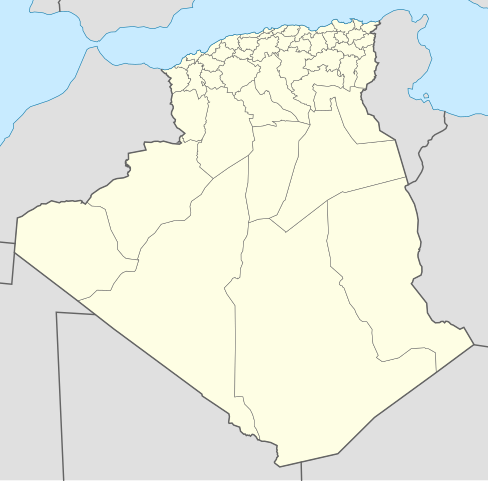
English: Blank map of Algerians Wilayas (administratives provinces), as in 2009. Each Wilaya in the file is an independent polygon.
Français : Carte vierge des Wilayas d'Algérie (provinces administratives), telles qu'en 2009. Chaque Wilaya dans le fichier est un polygone indépendant. Lambert conformal conic projection, WGS84 datum |
| Date | 2007-11-05, updated 2009-11 |
| Source |
Own work
|
| Author | Sémhur ·✉·✍·, updates by Sting |
| Other versions | Derivative works of this file: Algeria Oran Area Wilayas.png |
This W3C-unspecified vector image was created with Inkscape .
Licensing edit
I, the copyright holder of this work, hereby publish it under the following licenses:

|
Permission is granted to copy, distribute and/or modify this document under the terms of the GNU Free Documentation License, Version 1.2 or any later version published by the Free Software Foundation; with no Invariant Sections, no Front-Cover Texts, and no Back-Cover Texts. A copy of the license is included in the section entitled GNU Free Documentation License. |
This file is licensed under the Creative Commons Attribution-Share Alike 3.0 Unported, 2.5 Generic, 2.0 Generic and 1.0 Generic license.
- You are free:
- to share – to copy, distribute and transmit the work
- to remix – to adapt the work
- Under the following conditions:
- attribution – You must give appropriate credit, provide a link to the license, and indicate if changes were made. You may do so in any reasonable manner, but not in any way that suggests the licensor endorses you or your use.
- share alike – If you remix, transform, or build upon the material, you must distribute your contributions under the same or compatible license as the original.
You may select the license of your choice.
File history
Click on a date/time to view the file as it appeared at that time.
| Date/Time | Thumbnail | Dimensions | User | Comment | |
|---|---|---|---|---|---|
| current | 20:37, 18 November 2009 | | 508 × 500 (70 KB) | Sting (talk | contribs) | Grey standard color for other countries |
| 12:51, 18 November 2009 |  | 508 × 500 (70 KB) | Sting (talk | contribs) | Updated Wilayas boundaries ; new standard colors | |
| 09:10, 9 November 2007 |  | 478 × 500 (67 KB) | Sémhur (talk | contribs) | New version, smaller and more centered on Algeria | |
| 12:31, 5 November 2007 |  | 1,500 × 1,500 (189 KB) | Sémhur (talk | contribs) | {{Information |Description= {{en}} Blank map of Algerians Wilayas (administratives provinces). {{fr}} Carte muette des Wilayas d'Algérie (provinces administratives). |Source=Own work, from DZ-01.svg by Escondites, |
You cannot overwrite this file.
File usage on Commons
The following 4 pages use this file:
File usage on other wikis
The following other wikis use this file:
- Usage on ar.wikipedia.org
- عبد الرحمن الأخضري
- قادرية
- بلديات ولاية الجزائر
- زاوية مريدية
- الزاوية الدرقاوية
- دوائر وبلديات ولاية تلمسان
- بلديات ولاية سطيف
- بلديات ولاية الأغواط
- قائمة مساجد الجزائر
- الولايات المنتدبة في الجزائر
- مسجد أغادير
- قائمة بلديات ولاية المدية
- الجامع الكبير (الجزائر)
- بلديات ولاية عنابة
- دائرة غليزان
- وزارة الشؤون الدينية والأوقاف (الجزائر)
- المجلس العلمي للإفتاء (الجزائر)
- وزارة العدل (الجزائر)
- محمد خلفي
- مسجد عبد الحميد بن باديس (وهران)
- المجلس الإسلامي الأعلى (الجزائر)
- مستخدم:Aboulouei1/مقالات
- المحكمة العليا (الجزائر)
- مجلس قضاء سكيكدة
- الطريق الوطني رقم 11 (الجزائر)
- المجلس الدستوري (الجزائر)
- مديرية الشؤون الدينية والأوقاف لولاية الجزائر
- قالب:الهيئات الدينية في الجزائر
- اللجنة الوطنية لمراقبة الأهلة
- قالب:المساجد في الجزائر
- دار الإمام
- معهد القراءات
- الديوان الوطني للحج والعمرة
- الوكالة الوطنية لإنجاز وتسيير جامع الجزائر
- حنصالية
- الهيئة العليا المستقلة لمراقبة الانتخابات (الجزائر)
- مجلس قضاء الجزائر
- قالب:المجالس القضائية في الجزائر
- محكمة سيدي أمحمد
- قالب:المحاكم في ولاية الجزائر
- قالب:المراكز الثقافية الإسلامية في الجزائر
- قالب:شريط طرق وطنية (الجزائر)
- قائمة الطرق الوطنية في الجزائر
- الطريق الوطني رقم 24 (الجزائر)
- الطريق الوطني رقم 12 (الجزائر)
- الطريق الوطني رقم 5 (الجزائر)
- مجلس قضاء قسنطينة
- مجلس قضاء سوق أهراس
- مجلس قضاء بجاية
- مجلس قضاء تبسة
View more global usage of this file.