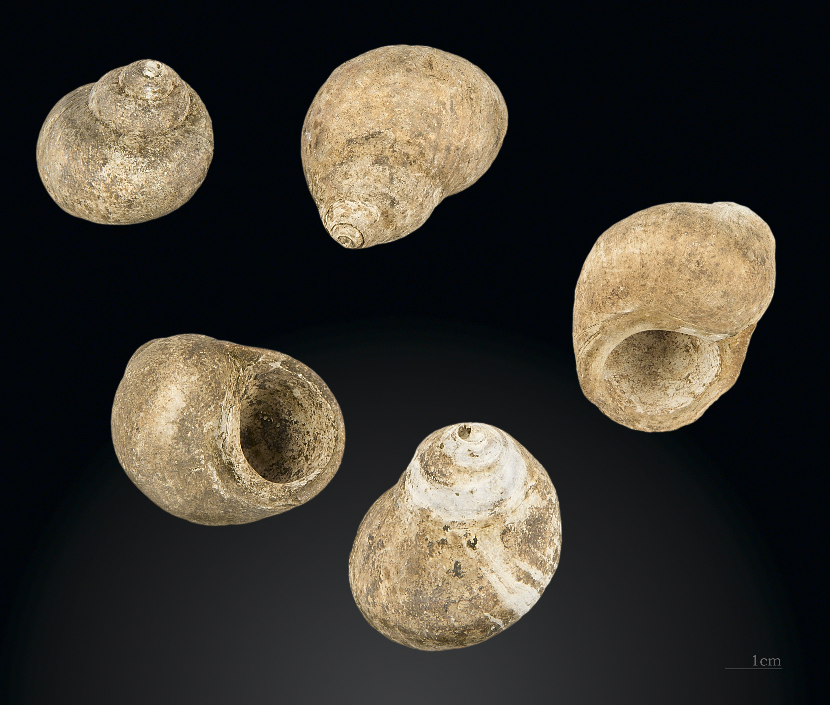
File:Altamira Littorina littorea Édouard Harlé MHNT.PRE.2012.0.609.jpg
Size of this preview: 705 × 599 pixels. Other resolutions: 282 × 240 pixels | 565 × 480 pixels | 903 × 768 pixels | 1,205 × 1,024 pixels | 2,409 × 2,048 pixels | 3,317 × 2,820 pixels.
Original file (3,317 × 2,820 pixels, file size: 7.32 MB, MIME type: image/jpeg)
Captions
Captions
Add a one-line explanation of what this file represents
Summary edit
| ||||||||||||||||||||||||||||||||||||||||||||||||||||||||||||||||||||||


File history
Click on a date/time to view the file as it appeared at that time.
| Date/Time | Thumbnail | Dimensions | User | Comment | |
|---|---|---|---|---|---|
| current | 10:08, 3 February 2013 | | 3,317 × 2,820 (7.32 MB) | Archaeodontosaurus (talk | contribs) | Remove artifact |
| 09:25, 3 February 2013 |  | 3,317 × 2,820 (7.35 MB) | Archaeodontosaurus (talk | contribs) | {{Information |Description ={{en|1=x}} |Source ={{own}} |Author =Archaeodontosaurus |Date = |Permission = |other_versions = }} |
You cannot overwrite this file.
File usage on Commons
The following 8 pages use this file:
- Littorina littorea
- User:Jean-Frédéric/WmFr/2013/Phoebus/Quarter1
- User:Jean-Frédéric/WmFr/2013/Quarter1
- User talk:Archaeodontosaurus/Deuxième trimestre 2014
- User talk:Archaeodontosaurus/Premier trimestre 2013
- Commons:Quality images/Subject/Animals/Molluscs/Archive 2008-2020
- Commons:Quality images candidates/Archives February 2013
- Commons:Valued image candidates/Altamira Littorina littorea Édouard Harlé MHNT.PRE.2012.0.609.jpg
File usage on other wikis
The following other wikis use this file:
- Usage on be.wikipedia.org
- Usage on ca.wikipedia.org
- Usage on de.wikipedia.org
- Usage on en.wikipedia.org
- Usage on es.wikipedia.org
- Usage on fr.wikipedia.org
- Usage on gl.wikipedia.org
- Usage on vi.wikipedia.org