File:Andorra topographic map-es.svg

Size of this PNG preview of this SVG file: 750 × 600 pixels. Other resolutions: 300 × 240 pixels | 600 × 480 pixels | 960 × 768 pixels | 1,280 × 1,024 pixels | 2,560 × 2,048 pixels | 1,625 × 1,300 pixels.
Original file (SVG file, nominally 1,625 × 1,300 pixels, file size: 1.58 MB)
Captions
Captions
Add a one-line explanation of what this file represents
Summary edit
| Camera location | | View this and other nearby images on: OpenStreetMap |
|---|
| Description |
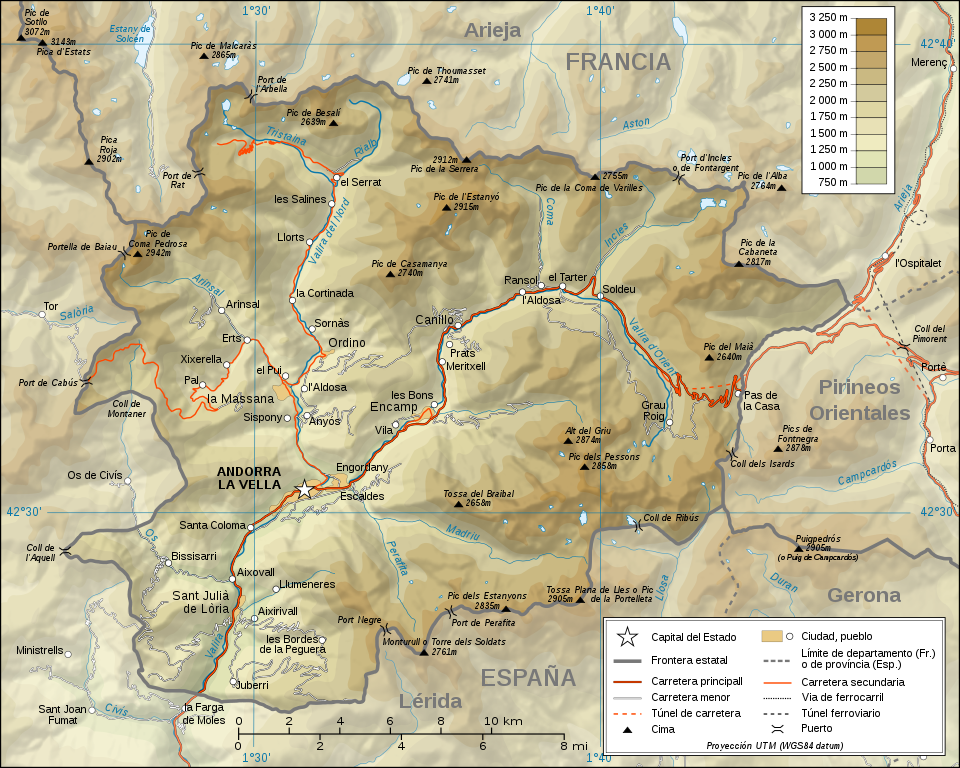
Català: Mapa topogràfic d'Andorra en versió en català English: Topographic map in Catalan of Andorra Français : Carte topographique en catalan de l'Andorre |
| Date | (UTC) |
| Source | |
| Author |
|

|
This SVG file contains embedded text that can be translated into your language, using any capable SVG editor, text editor or the SVG Translate tool. For more information see: About translating SVG files. |
Licensing edit
I, the copyright holder of this work, hereby publish it under the following licenses:

|
Permission is granted to copy, distribute and/or modify this document under the terms of the GNU Free Documentation License, Version 1.2 or any later version published by the Free Software Foundation; with no Invariant Sections, no Front-Cover Texts, and no Back-Cover Texts. A copy of the license is included in the section entitled GNU Free Documentation License. |
This file is licensed under the Creative Commons Attribution-Share Alike Attribution-Share Alike 4.0 International, 3.0 Unported, 2.5 Generic, 2.0 Generic and 1.0 Generic license.
- You are free:
- to share – to copy, distribute and transmit the work
- to remix – to adapt the work
- Under the following conditions:
- attribution – You must give appropriate credit, provide a link to the license, and indicate if changes were made. You may do so in any reasonable manner, but not in any way that suggests the licensor endorses you or your use.
- share alike – If you remix, transform, or build upon the material, you must distribute your contributions under the same or compatible license as the original.
You may select the license of your choice.
Original upload log edit
This image is a derivative work of the following images:
- File:Andorra_topographic_map-ca.svg licensed with Cc-by-sa-3.0,2.5,2.0,1.0, Cc-by-sa-3.0,2.5,2.0,1.0, GFDL, GFDL/en
- 2008-09-02T11:46:45Z SMP 1625x1300 (1654625 Bytes) {{Information |Description= |Source= |Date= |Author= |Permission= |other_versions= }}
- 2008-09-01T15:30:50Z SMP 1625x1300 (1421227 Bytes) {{Information |Description={{ca|Mapa topogràfic d'[[Andorra]] en versió en català}}{{en|Topographic map in Catalan of [[:en:Andorra|Andorra]]}}{{fr|Carte topographique en catalan de l'[[:fr:Andorre|Andorre]]}} |Source=*[[:
Uploaded with derivativeFX
File history
Click on a date/time to view the file as it appeared at that time.
| Date/Time | Thumbnail | Dimensions | User | Comment | |
|---|---|---|---|---|---|
| current | 12:33, 26 January 2009 | | 1,625 × 1,300 (1.58 MB) | Ortisa (talk | contribs) | {{Information |Description={{ca|Mapa topogràfic d'Andorra en versió en català}}{{en|Topographic map in Catalan of Andorra}}{{fr|Carte topographique en catalan de l'Andorre}} |Source=*[[:File:Andorra_topographic_map-c |
You cannot overwrite this file.
File usage on Commons
The following 11 pages use this file:
- File:Andorra topographic map-ca.svg
- File:Andorra topographic map-de.svg
- File:Andorra topographic map-en.svg
- File:Andorra topographic map-fr.svg
- File:Andorra topographic map-hu.svg
- File:Andorra topographic map-it.svg
- File:Andorra topographic map-mk.svg
- File:Andorra topographic map-pl.svg
- File:Andorra topographic map-ptbr.svg
- File:Andorra topographic map-sr.svg
- Template:Other versions/Andorra topographic map
File usage on other wikis
The following other wikis use this file:
- Usage on es.wikipedia.org
- Usage on mt.wikipedia.org
- Usage on www.wikidata.org