File:AngolaBigTopo (cropped).PNG
Size of this preview: 480 × 600 pixels. Other resolutions: 192 × 240 pixels | 384 × 480 pixels | 614 × 768 pixels | 1,024 × 1,280 pixels.
Original file (1,024 × 1,280 pixels, file size: 1.78 MB, MIME type: image/png)
Captions
Captions
Add a one-line explanation of what this file represents
Summary edit
| Description |
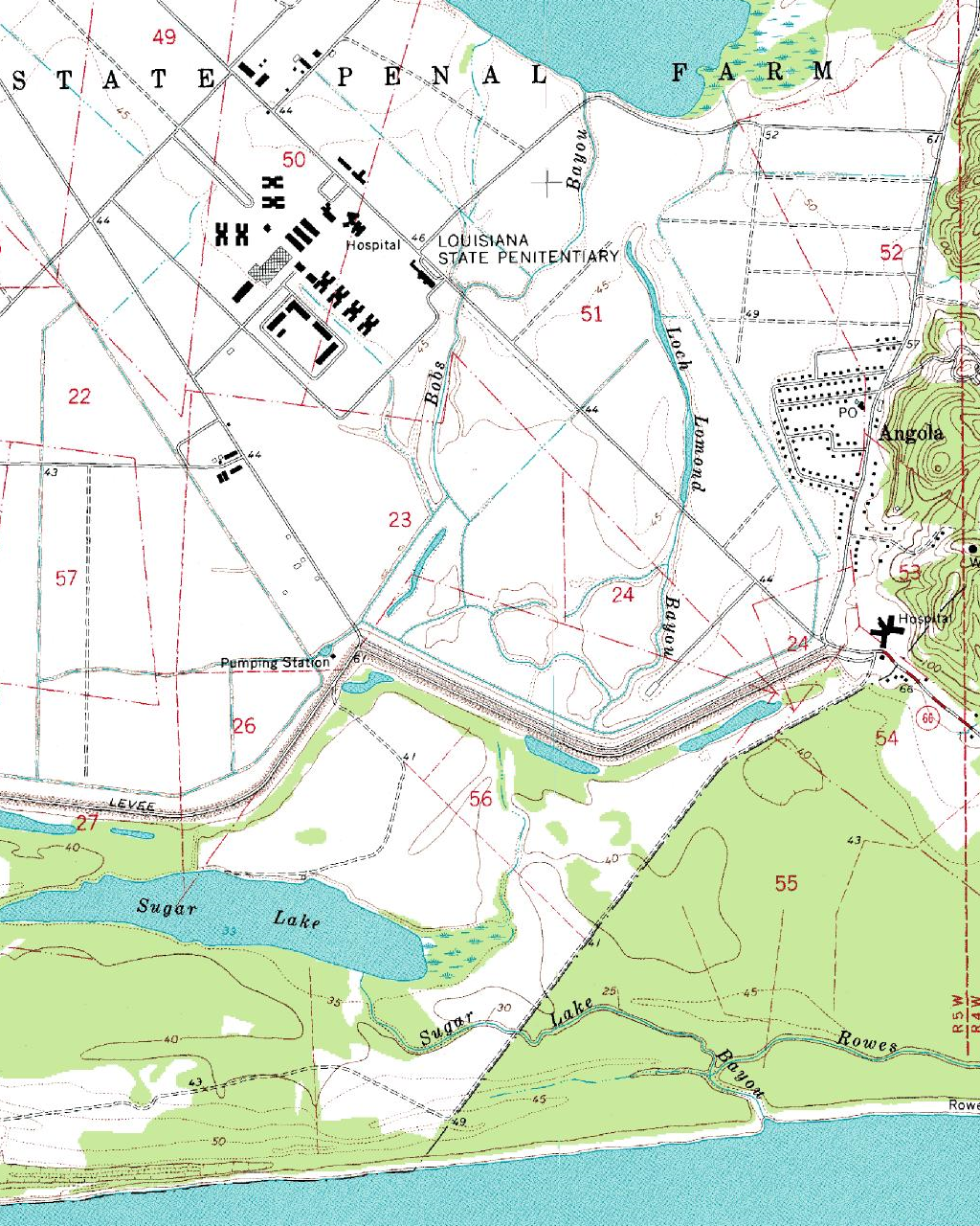
English: Crop of the USGS topographic map of Louisiana State Penitentiary in West Feliciana Parish, Louisiana.
Español: Parte de la mapa topográfico de la Louisiana State Penitentiary
Français : Part de la carte topographique du Louisiana State Penitentiary |
| Date | |
| Source |
USGS The National Map, via MSR Maps (formerly TerraServer-USA) |
| Author |
English: United States Geological Survey (USGS) Español: Servicio Geológico de los Estados Unidos |
| Permission (Reusing this file) |
Public domain |
| Other versions |

.PNG&action=edit§ion=1)
| Object location | | View this and other nearby images on: OpenStreetMap |
|---|
.PNG¶ms=030.970750_N_-091.596910_E_globe:Earth_class:object_type:object_region:US-LA_&language=en)
| Annotations | This image is annotated: View the annotations at Commons |
.PNG)
Licensing edit
.PNG&action=edit§ion=2)
This image is in the public domain in the United States because it only contains materials that originally came from the United States Geological Survey, an agency of the United States Department of the Interior. For more information, see the official USGS copyright policy.
|
File history
Click on a date/time to view the file as it appeared at that time.
| Date/Time | Thumbnail | Dimensions | User | Comment | |
|---|---|---|---|---|---|
| current | 02:37, 22 December 2019 | | 1,024 × 1,280 (1.78 MB) | Tibet Nation (talk | contribs) | File:AngolaBigTopo.PNG cropped 63 % horizontally, 43 % vertically using CropTool with precise mode. |
You cannot overwrite this file.
File usage on Commons
The following page uses this file:
File usage on other wikis
The following other wikis use this file:
- Usage on ar.wikipedia.org
.PNG&oldid=795600036)