File:Ankkaralli Forssa Loimijoki Kehräänö Turuntie - panoramio.jpg

Size of this preview: 800 × 450 pixels. Other resolutions: 320 × 180 pixels | 640 × 360 pixels | 1,024 × 576 pixels | 1,280 × 720 pixels | 1,920 × 1,080 pixels.
Original file (1,920 × 1,080 pixels, file size: 541 KB, MIME type: image/jpeg)
Captions
Captions
Add a one-line explanation of what this file represents
Summary edit
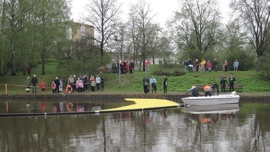
| Description | Ankkaralli Forssa Loimijoki Kehräänö Turuntie | ||
| Date | 19 June 2012 (original upload date) | ||
| Source | https://web.archive.org/web/20161024221956/http://www.panoramio.com/photo/74026276 | ||
| Author | eujmhs | ||
| Permission (Reusing this file) |
This file is licensed under the Creative Commons Attribution 3.0 Unported license. Attribution: eujmhs
|
||
| Tags (from Panoramio photo page) | Tavastia Proper, JOKI river река, SUOMI Phần Lan Soome, SUOMI فنلندا फ़िनलैंड フィンランド, SUOMI 芬兰 Finlândia |
| Camera location | | View this and other nearby images on: OpenStreetMap |
|---|
File history
Click on a date/time to view the file as it appeared at that time.
| Date/Time | Thumbnail | Dimensions | User | Comment | |
|---|---|---|---|---|---|
| current | 10:57, 4 January 2017 | | 1,920 × 1,080 (541 KB) | Panoramio upload bot (talk | contribs) | == {{int:filedesc}} == {{Information |description=Ankkaralli Forssa Loimijoki Kehräänö Turuntie |date={{Original upload date|2012-06-19}} |source=http://www.panoramio.com/photo/74026276 |author=[http://www.panoramio.com/user/4159324?with_photo_id=74... |
You cannot overwrite this file.
File usage on Commons
There are no pages that use this file.