File:Antarctica satellite.jpg
Size of this preview: 600 × 600 pixels. Other resolutions: 240 × 240 pixels | 480 × 480 pixels | 900 × 900 pixels.
Original file (900 × 900 pixels, file size: 308 KB, MIME type: image/jpeg)
Captions
Captions
Add a one-line explanation of what this file represents
Summary edit
| Description |
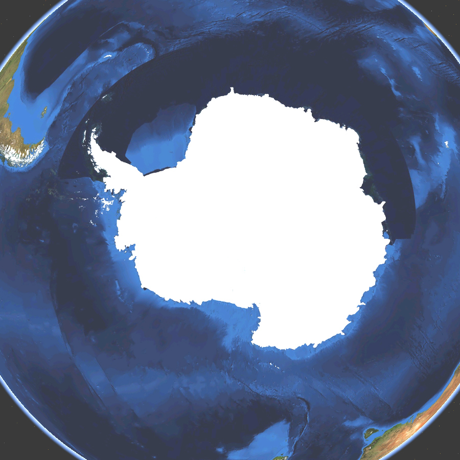
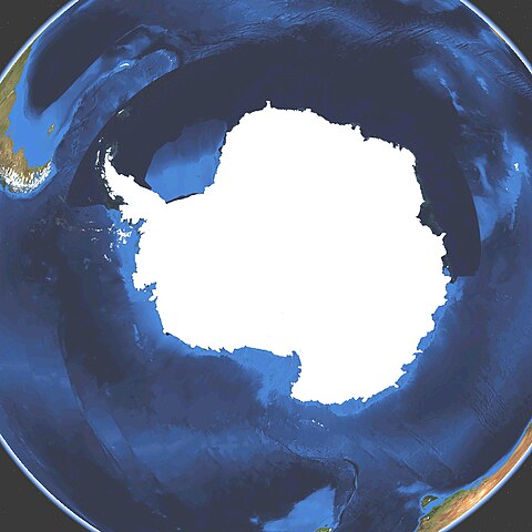
English: Satellite map of Antarctica. Land terrain and bathymetry (ocean-floor topography). |
| Date | |
| Source | Own work by uploader, made with NASA World Wind. |
| Author | Koyos |
| Other versions |
|


Licensing edit
| I, the copyright holder of this work, release this work into the public domain. This applies worldwide. In some countries this may not be legally possible; if so: I grant anyone the right to use this work for any purpose, without any conditions, unless such conditions are required by law. |
File history
Click on a date/time to view the file as it appeared at that time.
| Date/Time | Thumbnail | Dimensions | User | Comment | |
|---|---|---|---|---|---|
| current | 03:23, 15 March 2009 | | 900 × 900 (308 KB) | Koyos (talk | contribs) | {{Information |Description={{en|1=Satellite map of Antartica. Terrain and ocean topography.}} |Source=Own work by uploader |Author=Koyos |Date=2009-03-15 |Permission= |other_versions= }} <!--{{ImageUpload|full}}--> [[Category:Geography of |
You cannot overwrite this file.
File usage on Commons
The following 10 pages use this file:
File usage on other wikis
The following other wikis use this file:
- Usage on ceb.wikipedia.org
- Usage on et.wikipedia.org
- Usage on id.wikipedia.org
- Usage on ko.wikipedia.org
- Usage on sv.wikipedia.org