File:Arapil Grande.jpg
Size of this preview: 800 × 533 pixels. Other resolutions: 320 × 213 pixels | 640 × 427 pixels | 1,024 × 683 pixels | 1,280 × 853 pixels | 2,560 × 1,707 pixels | 3,264 × 2,176 pixels.
Original file (3,264 × 2,176 pixels, file size: 4.36 MB, MIME type: image/jpeg)
Captions
Captions
Los Arapiles - Ruta de la Batalla 22 July 1812
Summary edit
| Description |
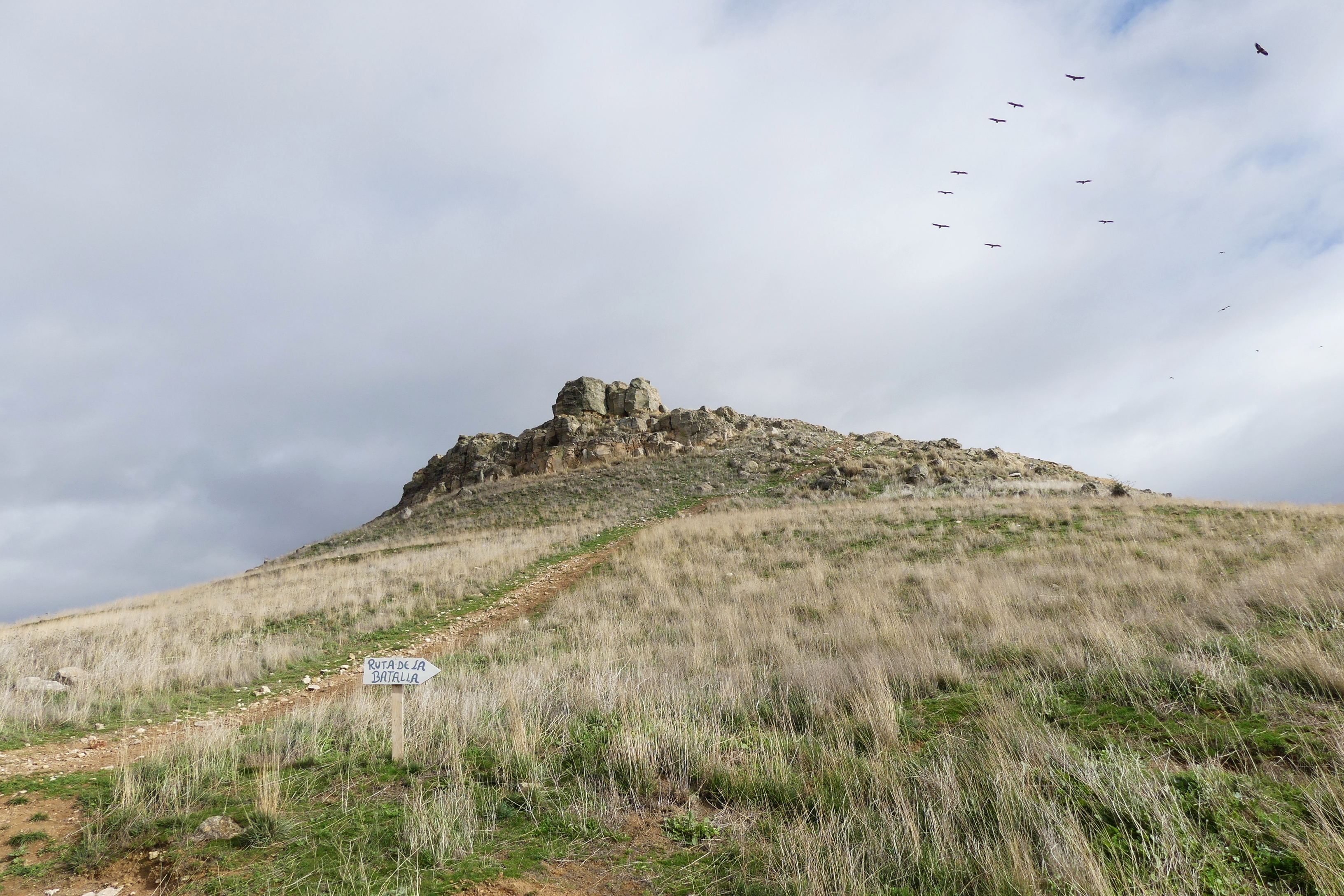
English: Last part of the trail "Batalla de Los Arapiles" fought on 22 July 1812.
Uphill path leading to the top of the hill "Arapil Grande" and the monument. "Arapil Grande" and "Arapil Chico" (off picture) are the two hills at the foot of which was fought the Battle of Salamanca (Batalla de Los Arapiles) on 22 July 1812 during the 1808-1814 Guerra de la Independencia. |
| Date | |
| Source | Own work |
| Author | Alta Falisa |
| Camera location | | View this and other nearby images on: OpenStreetMap |
|---|
Access by car from road DSA-106 at (40.8947, -5.6312) on a ca. 800 m long earth road (suitable for an ordinary car by dry weather).
Licensing edit
I, the copyright holder of this work, hereby publish it under the following license:
This file is licensed under the Creative Commons Attribution-Share Alike 4.0 International license.
- You are free:
- to share – to copy, distribute and transmit the work
- to remix – to adapt the work
- Under the following conditions:
- attribution – You must give appropriate credit, provide a link to the license, and indicate if changes were made. You may do so in any reasonable manner, but not in any way that suggests the licensor endorses you or your use.
- share alike – If you remix, transform, or build upon the material, you must distribute your contributions under the same or compatible license as the original.
File history
Click on a date/time to view the file as it appeared at that time.
| Date/Time | Thumbnail | Dimensions | User | Comment | |
|---|---|---|---|---|---|
| current | 14:18, 4 April 2020 | | 3,264 × 2,176 (4.36 MB) | Alta Falisa (talk | contribs) | Uploaded own work with UploadWizard |
You cannot overwrite this file.
File usage on Commons
There are no pages that use this file.