File:Area code 256.svg

Size of this PNG preview of this SVG file: 379 × 600 pixels. Other resolutions: 152 × 240 pixels | 303 × 480 pixels | 485 × 768 pixels | 647 × 1,024 pixels | 1,294 × 2,048 pixels | 3,379 × 5,346 pixels.
Original file (SVG file, nominally 3,379 × 5,346 pixels, file size: 221 KB)
Captions
Captions
Add a one-line explanation of what this file represents
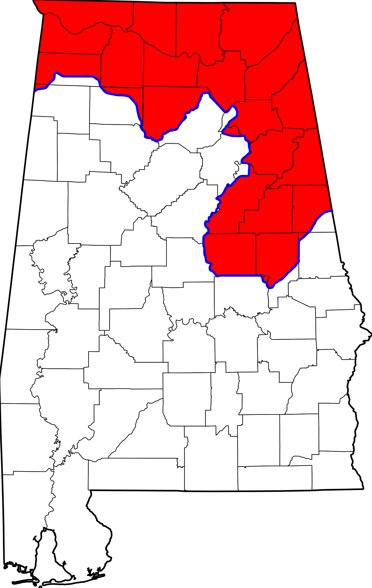
| Description | Map of area code 256 in Alabama. | ||
| Date | |||
| Source | based on File:Alabama counties.svg, data from Alabama PSC / Bellsouth | ||
| Author | Spyder_Monkey | ||
| Permission (Reusing this file) |
|
File history
Click on a date/time to view the file as it appeared at that time.
| Date/Time | Thumbnail | Dimensions | User | Comment | |
|---|---|---|---|---|---|
| current | 22:47, 16 January 2011 | | 3,379 × 5,346 (221 KB) | Spyder Monkey (talk | contribs) | removed stray border |
| 03:34, 15 June 2009 |  | 3,379 × 5,346 (224 KB) | Spyder Monkey (talk | contribs) | {{Information |Description=Map of {{w|area code 256}} in Alabama. |Source=based on File:Alabama counties.svg, data from [http://www.psc.state.al.us/News/areacode.htm Alabama PSC / Bellsouth] |Date=2009-06-14 |Author=[[User:Spyder_Monkey|Spyder_Monkey |
You cannot overwrite this file.
File usage on Commons
There are no pages that use this file.
File usage on other wikis
The following other wikis use this file:
- Usage on en.wikipedia.org
- Usage on fr.wikipedia.org
- Usage on ro.wikipedia.org