File:Armstrong Farm farmhouse.jpg

Size of this preview: 800 × 600 pixels. Other resolutions: 320 × 240 pixels | 640 × 480 pixels | 1,024 × 768 pixels | 1,280 × 960 pixels | 2,560 × 1,920 pixels | 2,816 × 2,112 pixels.
Original file (2,816 × 2,112 pixels, file size: 2.56 MB, MIME type: image/jpeg)
Captions
Captions
Add a one-line explanation of what this file represents
| Camera location | | View this and other nearby images on: OpenStreetMap |
|---|
| Description |
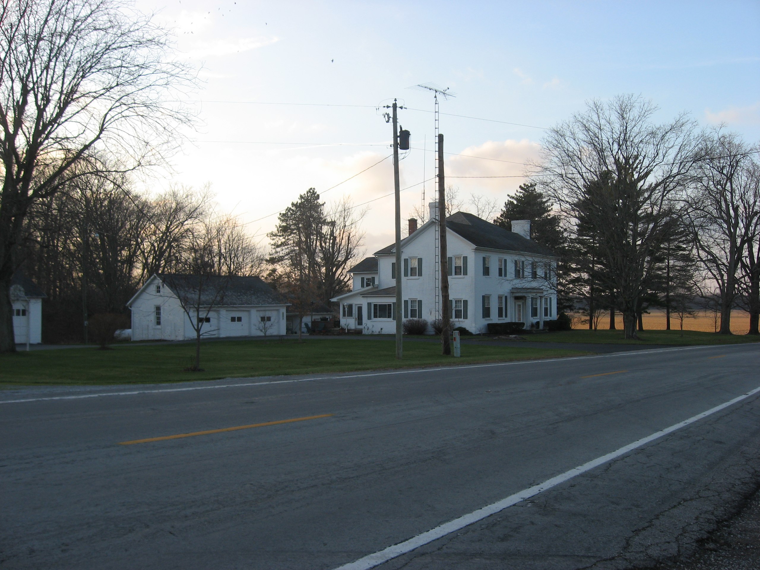
English: Farmhouse at the Armstrong Farm, located at 13706 State Route 199 southeast of the city of Upper Sandusky in Crane Township, Wyandot County, Ohio, United States. Built in 1830, the house and the rest of the farm are listed together on the National Register of Historic Places.
|
||
| Date | Taken on 4 December 2009 | ||
| Source | Own work | ||
| Author | Nyttend | ||
| Permission (Reusing this file) |
|
File history
Click on a date/time to view the file as it appeared at that time.
| Date/Time | Thumbnail | Dimensions | User | Comment | |
|---|---|---|---|---|---|
| current | 18:17, 5 December 2009 | | 2,816 × 2,112 (2.56 MB) | Nyttend (talk | contribs) | {{Location|40|47|38.4|N|83|15|56|W}} {{Information |Description={{en|Farmhouse at the {{w|Armstrong Farm (Crane Township, Wyandot County, Ohio)|Armstrong Farm}}, located at 13706 {{w|Ohio State Route 199|State Route 199}} southeast of the city of {{w|Uppe |
You cannot overwrite this file.
File usage on Commons
There are no pages that use this file.
File usage on other wikis
The following other wikis use this file:
- Usage on en.wikipedia.org