File:Atlas Curieux-Niederlande Provinzen.jpg
Original file (930 × 737 pixels, file size: 596 KB, MIME type: image/jpeg)
Captions
Captions
| Description |
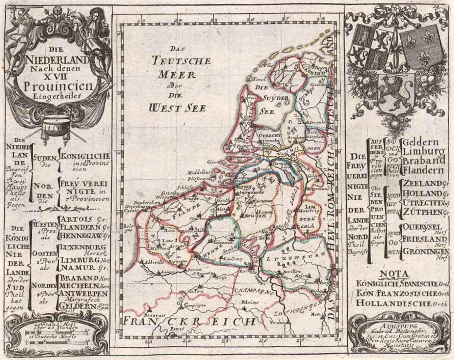
Deutsch: Karte der 17 Provinzen der Republik der Vereinigten Niederlande und der Österreichischen Niederlande aus dem Atlas Curieux (18. Jahrhundert) |
||||
| Date | 17xx | ||||
| Source | mdz1.bib-bvb.de – Gabriel Bodenehr: Atlas Curieux oder Neuer und Compendieuser Atlas, in welchem ausser den General-Land-Charten von America, Africa, Asia und Europa, und der in letzterem gelegenen Reichen und Ländern, sehr viele Speciale von besondern Provincien und Territorien, Sonderlich deren, die in letzteren Kriegen renommiert worden, enthalten sind. Augspurg/Augsburg/s.a. [nach 1716] | ||||
| Author | Gabriel Bodenehr (1673–1765, Kupferstecher) | ||||
| Permission (Reusing this file) |
|
||||
| Other versions |
|
||||
_Gabriel_Bodenehr.jpg)
File history
Click on a date/time to view the file as it appeared at that time.
| Date/Time | Thumbnail | Dimensions | User | Comment | |
|---|---|---|---|---|---|
| current | 17:49, 16 December 2008 | | 930 × 737 (596 KB) | Bdk (talk | contribs) | {{Information |Description={{de|Karte der 17 Provinzen der Republik der Vereinigten Niederlande und der Österreichischen Niederlande aus dem Atlas Curieux (18. Jahrhundert)}} |Source=[http://mdz1.bib-bvb.de/~db/bsb00001268/images/index.html?id=00001268&s |
You cannot overwrite this file.
File usage on Commons
There are no pages that use this file.