File:Austria Upper Austria location map.svg

Size of this PNG preview of this SVG file: 678 × 599 pixels. Other resolutions: 271 × 240 pixels | 543 × 480 pixels | 869 × 768 pixels | 1,158 × 1,024 pixels | 2,316 × 2,048 pixels | 760 × 672 pixels.
Original file (SVG file, nominally 760 × 672 pixels, file size: 96 KB)
Captions
Captions
Add a one-line explanation of what this file represents
Summary edit
| Description |
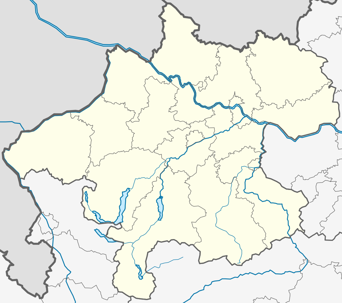
Deutsch: Positionskarte von Oberösterreich
Quadratische Plattkarte. Geographische Begrenzung der Karte:
English: Location map of Upper Austria
Equirectangular projection. Geographic limits of the map:
|
| Date | |
| Source | Own work by uploader |
| Author | Rosso Robot |
| SVG development |
Licensing edit
I, the copyright holder of this work, hereby publish it under the following licenses:
This file is licensed under the Creative Commons Attribution-Share Alike 3.0 Unported license.
- You are free:
- to share – to copy, distribute and transmit the work
- to remix – to adapt the work
- Under the following conditions:
- attribution – You must give appropriate credit, provide a link to the license, and indicate if changes were made. You may do so in any reasonable manner, but not in any way that suggests the licensor endorses you or your use.
- share alike – If you remix, transform, or build upon the material, you must distribute your contributions under the same or compatible license as the original.

|
Permission is granted to copy, distribute and/or modify this document under the terms of the GNU Free Documentation License, Version 1.2 or any later version published by the Free Software Foundation; with no Invariant Sections, no Front-Cover Texts, and no Back-Cover Texts. A copy of the license is included in the section entitled GNU Free Documentation License. |
You may select the license of your choice.
File history
Click on a date/time to view the file as it appeared at that time.
| Date/Time | Thumbnail | Dimensions | User | Comment | |
|---|---|---|---|---|---|
| current | 12:08, 27 May 2009 | | 760 × 672 (96 KB) | Rosso Robot (talk | contribs) | colour correction |
| 13:27, 26 May 2009 |  | 760 × 672 (94 KB) | Rosso Robot (talk | contribs) | plain svg | |
| 13:24, 26 May 2009 |  | 760 × 672 (94 KB) | Rosso Robot (talk | contribs) | {{Information |Description={{de|1=Positionskarte von Oberösterreich Quadratische Plattkarte. Geographische Begrenzung der Karte: * N: 49.06847° N * S: 47.36394° N * W: 14.44427° O * O: 17.06623° O}} {{en|1=Location map of [[:e |
You cannot overwrite this file.
File usage on Commons
The following 3 pages use this file:
File usage on other wikis
The following other wikis use this file:
- Usage on ba.wikipedia.org
- Usage on bg.wikipedia.org
- Usage on ce.wikipedia.org
- Линц
- Кеп:Меттиган карта Австри Лакха Австри
- Леондинг
- Браунау-ам-Инн
- Орт-им-Иннкрайс
- Валдцелл
- Гайерсберг (Оберэстеррайх)
- Адльванг
- Айген-им-Муьлькрайс
- Айденберг
- Айстерсхайм
- Айтцинг
- Айхкирхен
- Аллерхайлиген-им-Муьлькрайс
- Альберндорф-ин-дер-Ридмарк
- Алькофен (Лакха Австри)
- Альтенберг-бай-Линц
- Альтенфельден
- Альтмуьнстер
- Альтхайм (Лакха Австри)
- Альтшвендт
- Альхаминг
- Ампфльванг-им-Хаусрукквальд
- Андорф
- Андриксфурт
- Ансфельден
- Антизенхофен
- Арбинг (Лакха Австри)
- Арнрайт
- Аспах (Лакха Австри)
- Астен (Австри)
- Атнанг-Пуххайм
- Аттерзе-ам-Аттерзе
- Атцесберг
- Ауберг
- Аурах-ам-Хонгар
- Аурольцмуьнстер
- Ауэрбах (Лакха Австри)
- Афисль
- АхӀорн (Лакха Австри)
- Ацбах (Лакха Австри)
- Ашах-ан-дер-Донау
- Ашах-ан-дер-Штайр
- Бад-Вимсбах-Найдхартинг
- Бад-Гойзерн
- Бад-Ишль
- Бад-Кройцен
View more global usage of this file.