File:Austria Western Austria location map.svg

Size of this PNG preview of this SVG file: 799 × 371 pixels. Other resolutions: 320 × 149 pixels | 640 × 297 pixels | 1,024 × 475 pixels | 1,280 × 594 pixels | 2,560 × 1,189 pixels | 1,598 × 742 pixels.
Original file (SVG file, nominally 1,598 × 742 pixels, file size: 137 KB)
Captions
Captions
Add a one-line explanation of what this file represents
Summary edit
| Description |
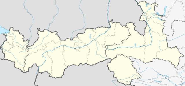
Deutsch: Positionskarte von Westösterreich
Quadratische Plattkarte. Geographische Begrenzung der Karte:
English: Location map of Western Austria
Equirectangular projection. Geographic limits of the map:
|
| Date | |
| Source |
Own work, based on:
This W3C-unspecified vector image was created with Inkscape . |
| Author | Rosso Robot |

|
This map has been made or improved in the German Kartenwerkstatt (Map Lab). You can propose maps to improve as well.
|
Licensing edit
I, the copyright holder of this work, hereby publish it under the following licenses:
This file is licensed under the Creative Commons Attribution-Share Alike 3.0 Unported license.
- You are free:
- to share – to copy, distribute and transmit the work
- to remix – to adapt the work
- Under the following conditions:
- attribution – You must give appropriate credit, provide a link to the license, and indicate if changes were made. You may do so in any reasonable manner, but not in any way that suggests the licensor endorses you or your use.
- share alike – If you remix, transform, or build upon the material, you must distribute your contributions under the same or compatible license as the original.

|
Permission is granted to copy, distribute and/or modify this document under the terms of the GNU Free Documentation License, Version 1.2 or any later version published by the Free Software Foundation; with no Invariant Sections, no Front-Cover Texts, and no Back-Cover Texts. A copy of the license is included in the section entitled GNU Free Documentation License. |
You may select the license of your choice.
File history
Click on a date/time to view the file as it appeared at that time.
| Date/Time | Thumbnail | Dimensions | User | Comment | |
|---|---|---|---|---|---|
| current | 18:06, 20 December 2009 | | 1,598 × 742 (137 KB) | Rosso Robot (talk | contribs) | crop |
| 17:27, 20 December 2009 |  | 1,598 × 810 (137 KB) | Rosso Robot (talk | contribs) | {{Information |Description={{de|1=Positionskarte von Westösterreich Quadratische Plattkarte. Geographische Begrenzung der Karte:}} {{en|1=Location map of Western Austria Equirectangular projection. Geographic limits of |
You cannot overwrite this file.
File usage on Commons
The following page uses this file:
File usage on other wikis
The following other wikis use this file:
- Usage on ba.wikipedia.org
- Usage on de.wikipedia.org
- Wikipedia:Kartenwerkstatt/Positionskarten/Europa
- Eishockey-Nationalliga (Österreich) 2009/10
- Vorlage:Positionskarte Österreich Westösterreich
- Wikipedia:Kartenwerkstatt/Archiv/2009-12
- Vorlage:Suche Positionskarte
- Vorlage:Suche Positionskarte/Doku
- Benutzer:Friedl 11/Test Graph
- Österreichische Fußballmeisterschaft 2019/20
- Österreichische Fußballmeisterschaft 2021/22
- Usage on fr.wikipedia.org
- Usage on hy.wikipedia.org
- Usage on kbd.wikipedia.org
- Usage on ru.wikipedia.org