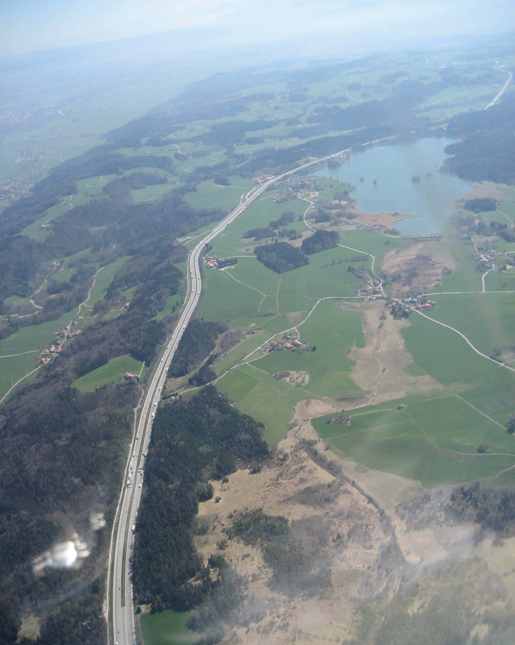
File:Autobahn A8 beim Seehamer See (Luftbild).jpg
Size of this preview: 479 × 600 pixels. Other resolutions: 192 × 240 pixels | 383 × 480 pixels | 613 × 768 pixels | 818 × 1,024 pixels | 1,704 × 2,134 pixels.
Original file (1,704 × 2,134 pixels, file size: 768 KB, MIME type: image/jpeg)
Captions
Captions
Add a one-line explanation of what this file represents
Summary edit
| Description |
|
| Date | |
| Source | Own work |
| Author | Maximilian Dörrbecker (Chumwa) |
| Permission (Reusing this file) |
This image was taken by Maximilian Dörrbecker. Attribution to Wikipedia or another project of the Wikimedia foundation is required if it is used outside of projects of the Wikimedia foundation. LicensingThis file is licensed under the Creative Commons Attribution-Share Alike 2.5 Generic license.
"I want to use the image. How do I do that?" You can use this image freely for any purpose, including commercial use, provided that you license it under the above license. My suggestion is to use the following text:
|
| Other versions |
|
.jpg)
-bearb.jpg)
-2.jpg)
.jpg&action=edit§ion=1)
| Object location | | View this and other nearby images on: OpenStreetMap |
|---|
.jpg¶ms=047.858333_N_0011.841667_E_globe:Earth_class:object_type:camera_region:DE_&language=en)
File history
Click on a date/time to view the file as it appeared at that time.
| Date/Time | Thumbnail | Dimensions | User | Comment | |
|---|---|---|---|---|---|
| current | 09:45, 3 September 2009 | | 1,704 × 2,134 (768 KB) | Church of emacs (talk | contribs) | cropped |
| 16:50, 20 August 2007 |  | 1,704 × 2,272 (889 KB) | Chumwa (talk | contribs) | {{Information |Description= *{{ de }} {{PAGENAME}} |Source=Self made |Date=August 2007 |Author=Maximilian Dörrbecker (Chumwa) |Permission=This image was taken by Maximilian Dörrbecker. Attribution |
You cannot overwrite this file.
File usage on Commons
The following 5 pages use this file:
File usage on other wikis
The following other wikis use this file:
- Usage on de.wikipedia.org
.jpg&oldid=814445597)