File:BV017048106.jpg

Size of this preview: 567 × 600 pixels. Other resolutions: 227 × 240 pixels | 454 × 480 pixels | 726 × 768 pixels | 968 × 1,024 pixels | 1,936 × 2,048 pixels | 6,458 × 6,833 pixels.
Original file (6,458 × 6,833 pixels, file size: 5.64 MB, MIME type: image/jpeg)
Captions
Captions
Add a one-line explanation of what this file represents
Summary edit
| Description |
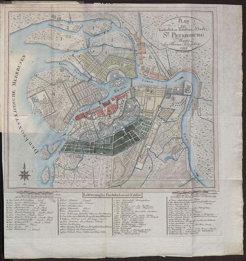
English: Map of St. Petersburg, 1813 |
| Date | |
| Source | St. Petersburg : ein Beitrag zur Geschichte unserer Zeit in Briefen aus d. J. 1810 - 1812 ; mit einem illuminirten Plane von St. Petersburg, Mainz: Kupferberg 1813 |
| Author |
Müller, Christian Schalck, Heinrich Franz (cartographer) |
| Camera location | | View this and other nearby images on: OpenStreetMap |
|---|
Map digitized as part of the project GeoPortOst: http://geoportost.ios-regensburg.de/map/BV017048106
Licensing edit
| This file is made available under the Creative Commons CC0 1.0 Universal Public Domain Dedication. | |
| The person who associated a work with this deed has dedicated the work to the public domain by waiving all of their rights to the work worldwide under copyright law, including all related and neighboring rights, to the extent allowed by law. You can copy, modify, distribute and perform the work, even for commercial purposes, all without asking permission.
|
File history
Click on a date/time to view the file as it appeared at that time.
| Date/Time | Thumbnail | Dimensions | User | Comment | |
|---|---|---|---|---|---|
| current | 11:56, 29 May 2017 | | 6,458 × 6,833 (5.64 MB) | H.bauer26 (talk | contribs) | User created page with UploadWizard |
You cannot overwrite this file.
File usage on Commons
There are no pages that use this file.