File:B 42 Oberdollendorf (2).jpg

Size of this preview: 800 × 599 pixels. Other resolutions: 320 × 240 pixels | 640 × 479 pixels | 1,024 × 766 pixels | 1,280 × 958 pixels | 2,560 × 1,916 pixels.
Original file (2,560 × 1,916 pixels, file size: 1.29 MB, MIME type: image/jpeg)
Captions
Captions
Add a one-line explanation of what this file represents
| Description | |||
| Date | |||
| Source | Own work | ||
| Author | Leit | ||
| Permission (Reusing this file) |
|
| Camera location | | View this and other nearby images on: OpenStreetMap |
|---|
.jpg¶ms=050.702177_N_0007.180078_E_globe:Earth_type:camera_heading:355.00&language=en)
The geographical information in this file was retrospectively estimated.
The location may therefore be somewhat imprecise. Verifying and refining these coordinates is strongly encouraged. |
File history
Click on a date/time to view the file as it appeared at that time.
| Date/Time | Thumbnail | Dimensions | User | Comment | |
|---|---|---|---|---|---|
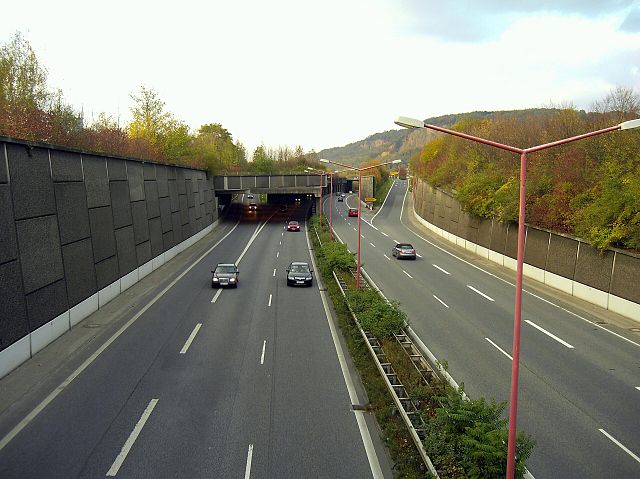
| current | 19:36, 4 November 2006 | | 2,560 × 1,916 (1.29 MB) | Leit (talk | contribs) | {{Information |Description= * {{en|Federal Road 42 (''Bundesstraße 42'') in Königswinter-Oberdollendorf}} * {{de|Bundesstraße 42 in Königswinter-Oberdollendorf}} |Source=own work |Date=4 November 2006 |Author=[ |
| 19:34, 4 November 2006 |  | 2,560 × 1,920 (1.29 MB) | Leit (talk | contribs) | {{Information |Description= * {{en|Federal Road 42 (''Bundesstraße 42'') in Königswinter-Oberdollendorf}} * {{de|Bundesstraße 42 in Königswinter-Oberdollendorf}} |Source=own work |Date=4 November 2006 |Author=[ |
You cannot overwrite this file.
File usage on Commons
The following page uses this file:
.jpg&oldid=814478424)