File:Bangladesh road sign C28.svg

Size of this PNG preview of this SVG file: 662 × 388 pixels. Other resolutions: 320 × 188 pixels | 640 × 375 pixels | 1,024 × 600 pixels | 1,280 × 750 pixels | 2,560 × 1,500 pixels.
Original file (SVG file, nominally 662 × 388 pixels, file size: 91 KB)
Captions
Captions
Add a one-line explanation of what this file represents
Summary edit
| Description |
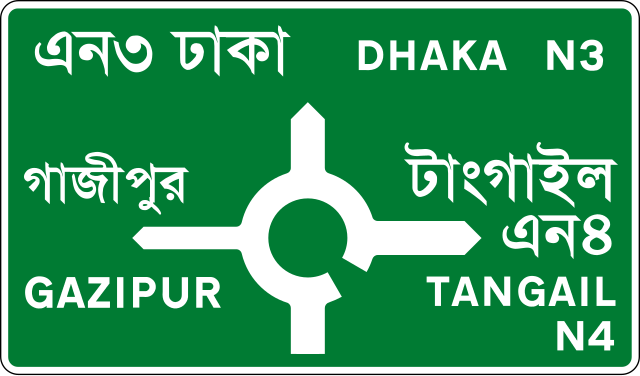
English: Advance Direction Sign (map-type – National Highways) |
| Date | |
| Source | Own work |
| Author | มองโกเลีย๔๔ |
Licensing edit
This image is derived from the Traffic Signs Manual (2000) issued by the Bangladesh Road Transport Authority. It is presumed to be in the public domain due to one of two reasons:
|
 |
File history
Click on a date/time to view the file as it appeared at that time.
| Date/Time | Thumbnail | Dimensions | User | Comment | |
|---|---|---|---|---|---|
| current | 17:53, 12 February 2021 | | 662 × 388 (91 KB) | มองโกเลีย๔๔ (talk | contribs) | Cross-wiki upload from en.wikipedia.org |
You cannot overwrite this file.
File usage on Commons
There are no pages that use this file.
File usage on other wikis
The following other wikis use this file:
- Usage on bn.wikipedia.org
- Usage on en.wikipedia.org