File:Bardowick Mühlenstraße 38 011 2021 06 25.jpg

Original file (3,019 × 1,986 pixels, file size: 1.36 MB, MIME type: image/jpeg)
Captions
Captions
Summary edit
| Description |
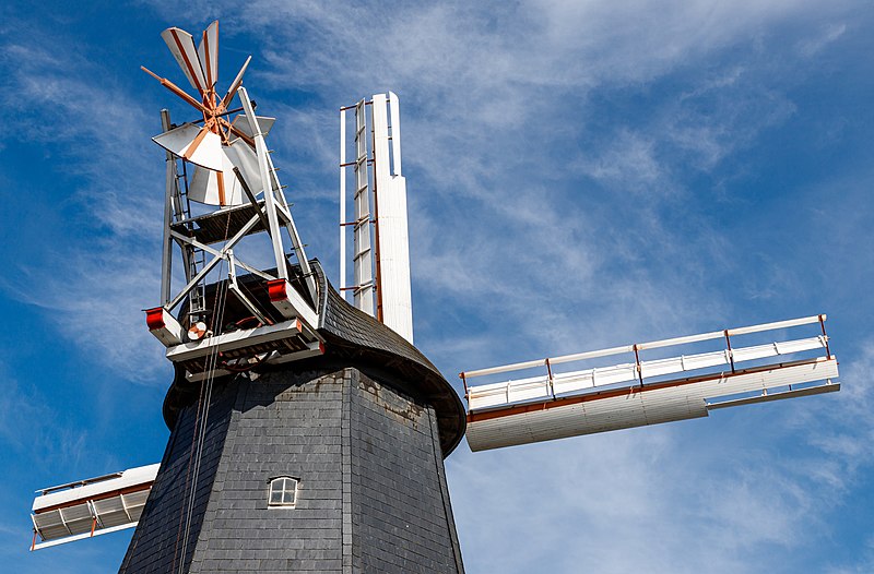
This is a photograph of an architectural monument.
It is on the list of cultural monuments of Bardowick. Depicted part: Cap and fantail Designation: Windmill
Place: |
||
| Date | Taken on 25.06.2021 09:03:56 | ||
| Source | Self-photographed | ||
| Author | Friedrich Haag | ||
| Permission (Reusing this file) |
|
||
| Attribution (required by the license) | © Friedrich Haag / Wikimedia Commons / | ||
| Object location | | View this and other nearby images on: OpenStreetMap |
|---|
| Camera location | | View this and other nearby images on: OpenStreetMap |
|---|
Licensing edit
- You are free:
- to share – to copy, distribute and transmit the work
- to remix – to adapt the work
- Under the following conditions:
- attribution – You must give appropriate credit, provide a link to the license, and indicate if changes were made. You may do so in any reasonable manner, but not in any way that suggests the licensor endorses you or your use.
- share alike – If you remix, transform, or build upon the material, you must distribute your contributions under the same or compatible license as the original.
Other edit

|
This image was uploaded as part of Wiki Loves Monuments 2021.
|
Assessment edit
This image has been assessed using the Quality image guidelines and is considered a Quality image.
|
File history
Click on a date/time to view the file as it appeared at that time.
| Date/Time | Thumbnail | Dimensions | User | Comment | |
|---|---|---|---|---|---|
| current | 09:46, 5 September 2021 | | 3,019 × 1,986 (1.36 MB) | F. Riedelio (talk | contribs) | Uploaded with LrMediaWiki 1.3.0, LR 10.4 Win |
You cannot overwrite this file.
File usage on Commons
The following 6 pages use this file:
- User:F. Riedelio/Kulturdenkmäler/Kulturdenkmäler Deutschland/Kulturdenkmäler Niedersachsen/Bardowick
- User:F. Riedelio/Kulturdenkmäler Chronologisch/2021
- User:F. Riedelio/Quality Image Promotion/2021/2021 1
- Commons:Quality images/Subject/Architecture/Agricultural and Industrial
- Commons:Quality images candidates/Archives September 15 2021
- Category:Windmill winding
File usage on other wikis
The following other wikis use this file:
- Usage on www.wikidata.org