File:Baseball field at Worsted Mills site.jpg

Size of this preview: 800 × 532 pixels. Other resolutions: 320 × 213 pixels | 640 × 426 pixels | 1,024 × 681 pixels | 1,280 × 851 pixels | 2,560 × 1,702 pixels | 6,016 × 4,000 pixels.
Original file (6,016 × 4,000 pixels, file size: 6.09 MB, MIME type: image/jpeg)
Captions
Captions
Add a one-line explanation of what this file represents
|
This is an image of a place or building that is listed on the National Register of Historic Places in the United States of America. Its reference number is 85001695. |
| Camera location | | View this and other nearby images on: OpenStreetMap |
|---|
| Description |
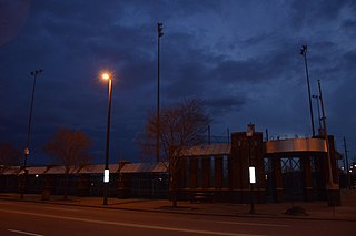
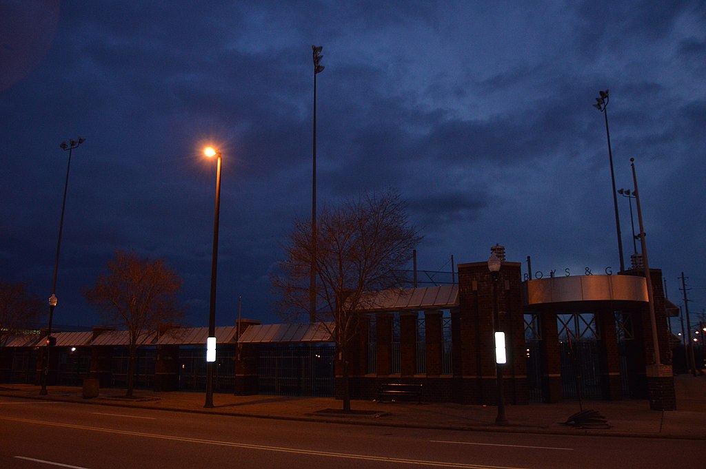
English: Front of a baseball field on the southwestern side of the 5900 block of Broadway (State Routes 14/43) in Cleveland, Ohio, United States. It occupies the site of the Cleveland Worsted Mills Company, which is listed on the National Register of Historic Places; although destroyed by fire in 1993, it has not yet been removed from the Register. |
||
| Date | Taken on 1 December 2014 | ||
| Source | Own work | ||
| Author | Nyttend | ||
| Permission (Reusing this file) |
|
File history
Click on a date/time to view the file as it appeared at that time.
| Date/Time | Thumbnail | Dimensions | User | Comment | |
|---|---|---|---|---|---|
| current | 04:50, 25 December 2014 | | 6,016 × 4,000 (6.09 MB) | Nyttend (talk | contribs) | {{NRHP|85001695}} {{Location|41|27|53|N|81|38|57|W}} {{Information |Description={{en|Front of a baseball field on the southwestern side of the 5900 block of Broadway (State Routes {{w|Ohio State Route 14|14}}/{{w|Ohio State Route 43|43}}) in {{w|Clevel... |
You cannot overwrite this file.
File usage on Commons
There are no pages that use this file.
File usage on other wikis
The following other wikis use this file:
- Usage on en.wikipedia.org