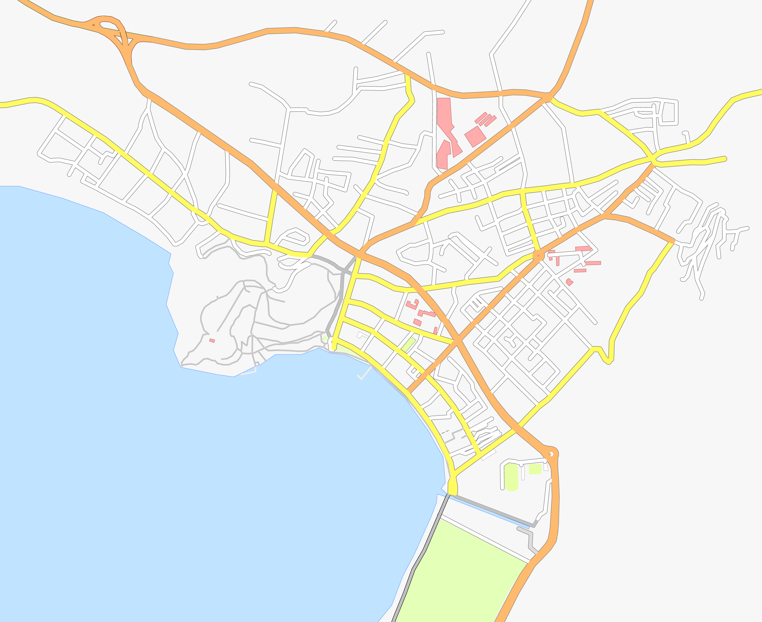
File:Basisplan Ohrid.png
Size of this preview: 735 × 600 pixels. Other resolutions: 294 × 240 pixels | 588 × 480 pixels | 941 × 768 pixels | 1,255 × 1,024 pixels | 2,510 × 2,048 pixels | 2,992 × 2,441 pixels.
Original file (2,992 × 2,441 pixels, file size: 783 KB, MIME type: image/png)
Captions
Captions
Add a one-line explanation of what this file represents
| Description |
Deutsch: Basisplan von Ohrid (Mazedonien) als Grundlage für weitere Bearbeitungen |
| Date | see file history |
| Source | own work, using OpenStreetMap |
| Author | Maximilian Dörrbecker (Chumwa) |
| Permission (Reusing this file) |
All OpenStreetMap data and maps are Creative Commons "CC-BY-SA 2.0" licensed This file is licensed under the Creative Commons Attribution-Share Alike 2.0 Generic license.
|
File history
Click on a date/time to view the file as it appeared at that time.
| Date/Time | Thumbnail | Dimensions | User | Comment | |
|---|---|---|---|---|---|
| current | 21:02, 22 March 2011 | | 2,992 × 2,441 (783 KB) | Chumwa (talk | contribs) | kräftigere Farben |
| 20:56, 22 March 2011 |  | 2,992 × 2,441 (712 KB) | Chumwa (talk | contribs) | {{Information |Description={{de|Basisplan von Ohrid (Mazedonien) als Grundlage für weitere Bearbeitungen}} |Author=Maximilian Dörrbecker (Chumwa) |Source=own work, using OpenStreetMap |Date=see file history |P |
You cannot overwrite this file.
File usage on Commons
The following 2 pages use this file:
File usage on other wikis
The following other wikis use this file:
- Usage on de.wikipedia.org