File:Bath and North East Somerset UK ward map 1995 (blank).svg

Size of this PNG preview of this SVG file: 800 × 551 pixels. Other resolutions: 320 × 221 pixels | 640 × 441 pixels | 1,024 × 706 pixels | 1,280 × 882 pixels | 2,560 × 1,764 pixels | 1,425 × 982 pixels.
Original file (SVG file, nominally 1,425 × 982 pixels, file size: 769 KB)
Captions
Captions
Add a one-line explanation of what this file represents
Summary edit
.svg&action=edit§ion=1)
| Description |
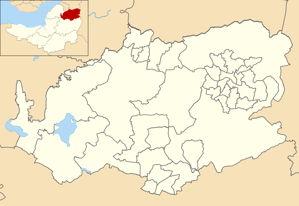
English: Map of Bath and North East Somerset, Somerset, UK with electoral wards shown.
Equirectangular map projection on WGS 84 datum, with N/S stretched 155% Geographic limits: West: 2.72W East: 2.27W North: 51.46N South: 51.26N |
| Date | |
| Source |
|
| Author | Ytfc23, created using Ordnance Survey data |
| Permission (Reusing this file) |
This file is licensed under the Creative Commons Attribution-Share Alike 3.0 Unported license. Attribution: Contains Ordnance Survey data © Crown copyright and database right
|
File history
Click on a date/time to view the file as it appeared at that time.
| Date/Time | Thumbnail | Dimensions | User | Comment | |
|---|---|---|---|---|---|
| current | 20:57, 4 May 2020 | | 1,425 × 982 (769 KB) | Ytfc23 (talk | contribs) | Correcting the Cameley/Farmborough & High Littleton ward boundary. |
| 19:34, 4 May 2020 |  | 1,425 × 982 (768 KB) | Ytfc23 (talk | contribs) | Reducing weight of border lines | |
| 19:31, 4 May 2020 |  | 1,425 × 982 (768 KB) | Ytfc23 (talk | contribs) | Uploaded a work by Ytfc23, created using Ordnance Survey data from Ordnance Survey [https://www.ordnancesurvey.co.uk/opendatadownload/products.html OpenData]. *Coastline and administrative boundary data from Boundary-Line product. *Lake data from Meridian 2 product. with UploadWizard |
You cannot overwrite this file.
File usage on Commons
The following page uses this file:
File usage on other wikis
The following other wikis use this file:
- Usage on en.wikipedia.org
.svg&oldid=818553820)