File:Bay of Bengal map ka.png
Size of this preview: 588 × 599 pixels. Other resolutions: 236 × 240 pixels | 471 × 480 pixels | 1,000 × 1,019 pixels.
Original file (1,000 × 1,019 pixels, file size: 291 KB, MIME type: image/png)
Captions
Captions
Add a one-line explanation of what this file represents
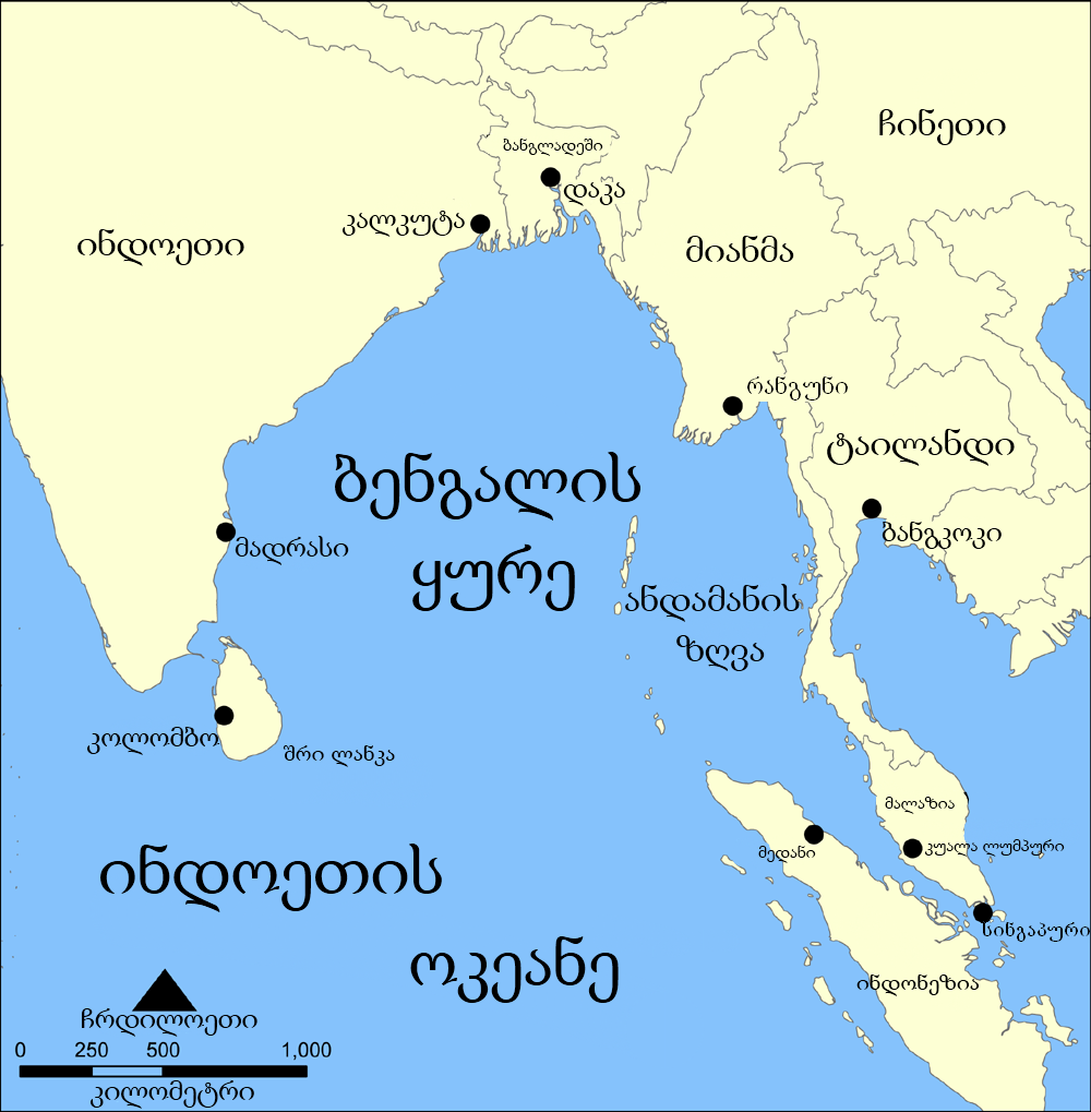
| Description | A map showing the location of the Bay of Bengal and the Andaman Sea in southeast Asia. Created by NormanEinstein, September 15, 2005. |
| Date | (UTC) |
| Source | |
| Author |
|
| This is a retouched picture, which means that it has been digitally altered from its original version. Modifications: Translated into Georgian. The original can be viewed here: Bay of Bengal map.png:
|
I, the copyright holder of this work, hereby publish it under the following licenses:
| This file is licensed under the Creative Commons Attribution-Share Alike 3.0 Unported license. | ||
| ||
| This licensing tag was added to this file as part of the GFDL licensing update. |

|
Permission is granted to copy, distribute and/or modify this document under the terms of the GNU Free Documentation License, Version 1.2 or any later version published by the Free Software Foundation; with no Invariant Sections, no Front-Cover Texts, and no Back-Cover Texts. A copy of the license is included in the section entitled GNU Free Documentation License. |
You may select the license of your choice.
Original upload log edit
This image is a derivative work of the following images:
- File:Bay_of_Bengal_map.png licensed with Cc-by-sa-3.0-migrated, GFDL
- 2006-02-06T14:47:19Z NormanEinstein 1000x1019 (349850 Bytes) Corrected typo.
- 2005-09-15T20:33:04Z NormanEinstein 800x814 (268248 Bytes) A map showing the location of the Bay of Bengal and the Andaman Sea in southeast Asia. Created by NormanEinstein, September 15, 2005. {{GFDL-self}} [[Category:Maps of Seas]]
Uploaded with derivativeFX
File history
Click on a date/time to view the file as it appeared at that time.
| Date/Time | Thumbnail | Dimensions | User | Comment | |
|---|---|---|---|---|---|
| current | 10:03, 2 August 2010 | | 1,000 × 1,019 (291 KB) | Giorgi13 (talk | contribs) | ითარგმნა ბოლომდე და შეცდომა გასწორდა |
| 07:52, 26 July 2010 |  | 1,000 × 1,019 (295 KB) | DerFuchs (talk | contribs) | {{Information |Description=A map showing the location of the Bay of Bengal and the Andaman Sea in southeast Asia. Created by NormanEinstein, September 15, 2005. |Source=*File:Bay_of_Bengal_map.png |Date=2010-07-26 07:51 (UTC) |Author=*[[:File:Bay_o |
You cannot overwrite this file.
File usage on Commons
There are no pages that use this file.
File usage on other wikis
The following other wikis use this file:
- Usage on ka.wikipedia.org
- Usage on xmf.wikipedia.org