File:Bayern Relief Grenzen Namen.png

Size of this preview: 608 × 600 pixels. Other resolutions: 243 × 240 pixels | 487 × 480 pixels | 779 × 768 pixels | 1,038 × 1,024 pixels | 1,695 × 1,672 pixels.
Original file (1,695 × 1,672 pixels, file size: 4.57 MB, MIME type: image/png)
Captions
Captions
Add a one-line explanation of what this file represents
Summary edit
| Description |
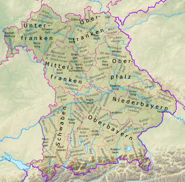
Deutsch: Physische Positionskarte Bayern, Deutschland. Geographische Begrenzung der Karte:
English: Physical Location map Bavaria, Germany. Geographic limits of the map:
|
| Date | |
| Source |
Own work |
| Author | Grundkarte TUBS, Relief Alexrk2, Revision Ulamm (talk) |
| Other versions |
|

Licensing edit
I, the copyright holder of this work, hereby publish it under the following licenses:

|
Permission is granted to copy, distribute and/or modify this document under the terms of the GNU Free Documentation License, Version 1.2 or any later version published by the Free Software Foundation; with no Invariant Sections, no Front-Cover Texts, and no Back-Cover Texts. A copy of the license is included in the section entitled GNU Free Documentation License. |
This file is licensed under the Creative Commons Attribution-Share Alike 3.0 Unported, 2.5 Generic, 2.0 Generic and 1.0 Generic license.
- You are free:
- to share – to copy, distribute and transmit the work
- to remix – to adapt the work
- Under the following conditions:
- attribution – You must give appropriate credit, provide a link to the license, and indicate if changes were made. You may do so in any reasonable manner, but not in any way that suggests the licensor endorses you or your use.
- share alike – If you remix, transform, or build upon the material, you must distribute your contributions under the same or compatible license as the original.
You may select the license of your choice.
File history
Click on a date/time to view the file as it appeared at that time.
| Date/Time | Thumbnail | Dimensions | User | Comment | |
|---|---|---|---|---|---|
| current | 19:40, 3 November 2023 | | 1,695 × 1,672 (4.57 MB) | Ulamm (talk | contribs) | Ebergsberg -> Ebersberg |
| 10:47, 17 February 2023 |  | 1,695 × 1,672 (4.57 MB) | Ulamm (talk | contribs) | colours of the borders more similar to the maps of the other German states | |
| 12:11, 23 January 2023 |  | 1,695 × 1,672 (4.58 MB) | Ulamm (talk | contribs) | {{Information |Description= {{de|Physische Positionskarte Bayern, Deutschland. Geographische Begrenzung der Karte:}} {{en|Physical Location map Bavaria, Germany. Geographic limits of the map:}} * N: 50.6303000° N * S: 47.26618° N * W: 8.897552° O * E: 14.059753° O |Source={{Own}} *File:Bavaria_location_map.svg→File:Bavaria relief location map.jpg *SRTM3 |Date=2009-11 |Author= Grundkarte TUBS, Relief Alexrk2, Rev... |
You cannot overwrite this file.
File usage on Commons
There are no pages that use this file.
File usage on other wikis
The following other wikis use this file: