File:Bebauungsplan Nördlingen In der Talbreite.pdf

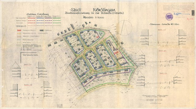
Size of this JPG preview of this PDF file: 800 × 445 pixels. Other resolutions: 320 × 178 pixels | 640 × 356 pixels | 1,024 × 569 pixels | 1,280 × 712 pixels | 2,560 × 1,423 pixels | 5,545 × 3,083 pixels.
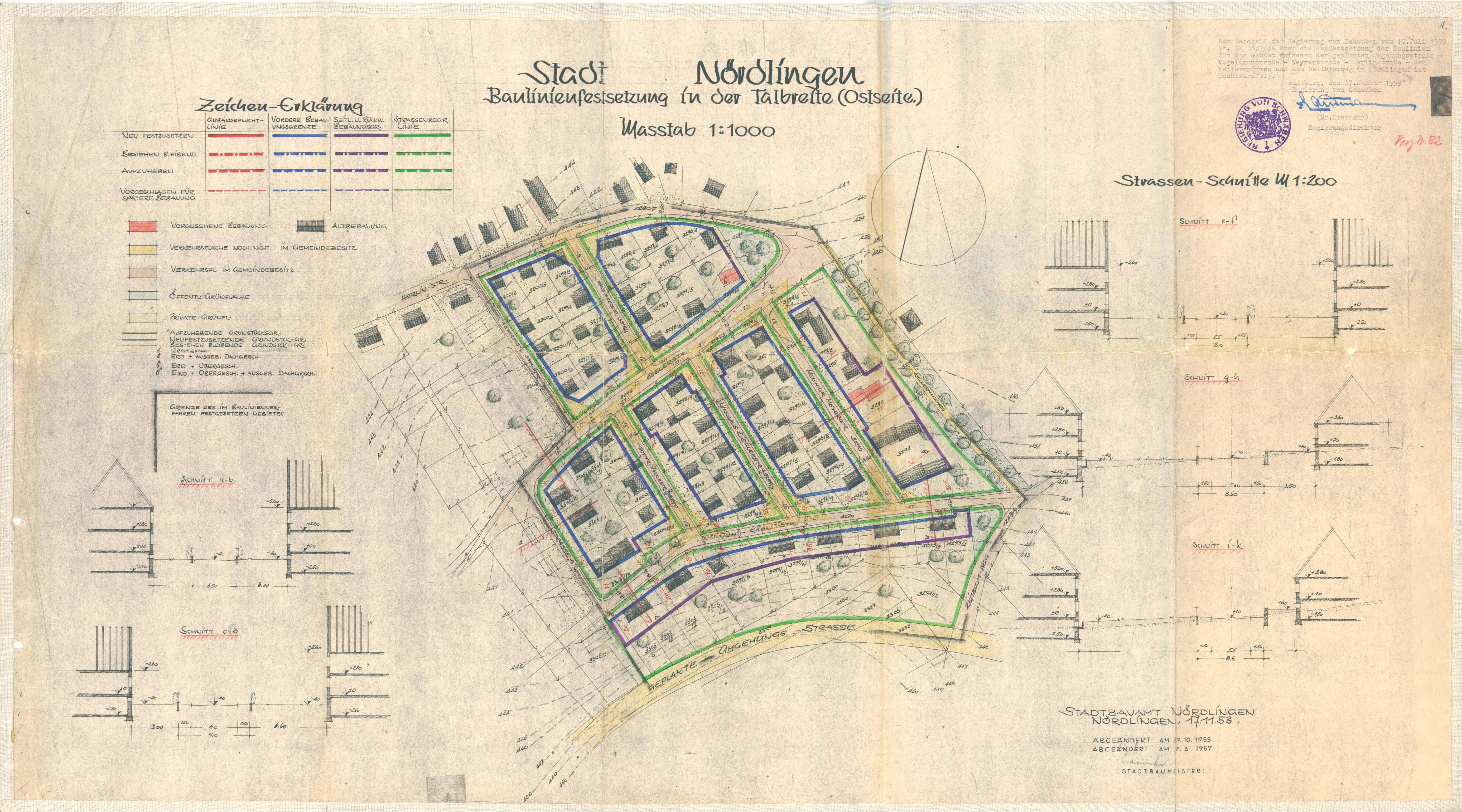
Original file (5,545 × 3,083 pixels, file size: 1.52 MB, MIME type: application/pdf)
Captions
Captions
Add a one-line explanation of what this file represents
Summary edit
| Description |
Deutsch: Bebauungsplan des Stadtviertels "In der Talbreite" in Nördlingen |
| Date | |
| Source | https://www.noerdlingen.de/uploads/tx_nlflaechen/213_0_BP_082_In-der-Talbreite-(oestlicher-Teil)_Plan_Satzung.pdf |
| Author | Stadtbauamt Nördlingen |
| Camera location | | View this and other nearby images on: OpenStreetMap |
|---|
https://www.noerdlingen.de/stadt-rathaus-aktuell/stadtplanung/bebauungsplaene/
Licensing edit
| This image is in the public domain according to German copyright law because it is part of a statute, ordinance, official decree or judgment (official work) issued by a German authority or court (§ 5 Abs.1 UrhG).
|
 |
File history
Click on a date/time to view the file as it appeared at that time.
| Date/Time | Thumbnail | Dimensions | User | Comment | |
|---|---|---|---|---|---|
| current | 17:24, 27 March 2021 |  | 5,545 × 3,083 (1.52 MB) | Zimtstern 2k (talk | contribs) | Uploaded a work by Stadtbauamt Nördlingen from https://www.noerdlingen.de/uploads/tx_nlflaechen/213_0_BP_082_In-der-Talbreite-(oestlicher-Teil)_Plan_Satzung.pdf with UploadWizard |
You cannot overwrite this file.
File usage on Commons
The following 2 pages use this file: