File:Belpberg, Aaretal, Gürbetal aerial view 2009.jpg

Size of this preview: 800 × 496 pixels. Other resolutions: 320 × 198 pixels | 640 × 397 pixels | 1,024 × 635 pixels | 1,280 × 793 pixels | 3,072 × 1,904 pixels.
Original file (3,072 × 1,904 pixels, file size: 856 KB, MIME type: image/jpeg)
Captions
Captions
Add a one-line explanation of what this file represents
Summary edit
| Description |
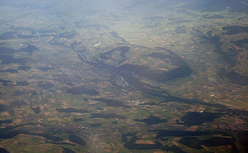
English: Aerial view, looking southeast, of the Belpberg mountain at the conjunction of the Aare and Gürbe valleys. To the right, Belp and Berne Airport. |
| Source | Own work |
| Author | Sandstein |
Licensing edit
I, the copyright holder of this work, hereby publish it under the following license:
This file is licensed under the Creative Commons Attribution 3.0 Unported license.
- You are free:
- to share – to copy, distribute and transmit the work
- to remix – to adapt the work
- Under the following conditions:
- attribution – You must give appropriate credit, provide a link to the license, and indicate if changes were made. You may do so in any reasonable manner, but not in any way that suggests the licensor endorses you or your use.
| Annotations | This image is annotated: View the annotations at Commons |
File history
Click on a date/time to view the file as it appeared at that time.
| Date/Time | Thumbnail | Dimensions | User | Comment | |
|---|---|---|---|---|---|
| current | 15:08, 16 August 2009 | | 3,072 × 1,904 (856 KB) | Sandstein (talk | contribs) | {{Information |Description={{en|1=Aerial view, looking southeast, of the Belpberg mountain at the conjunction of the Aare and Gürbe valleys. To the right, Belp and Berne Airport.}} |Source=Own work by uploader |Author=Sandstein |Date= |
You cannot overwrite this file.
File usage on Commons
There are no pages that use this file.
File usage on other wikis
The following other wikis use this file: