File:Bethesda trolley trail near georgetown prep in north bethesda md 20200907 113904 1.jpg

Size of this preview: 800 × 534 pixels. Other resolutions: 320 × 214 pixels | 640 × 427 pixels | 1,024 × 683 pixels | 1,280 × 854 pixels | 2,560 × 1,709 pixels | 7,360 × 4,912 pixels.
Original file (7,360 × 4,912 pixels, file size: 16.67 MB, MIME type: image/jpeg)
Captions
Captions
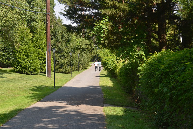
Bethesda Trolley Trail near Georgetown Preparatory School in North Bethesda, MD
Summary edit
| Description |
English: The Bethesda Trolley Trail runs through this area on a thin strip of right-of-way between Georgetown Prep (on the right) and a housing development. |
| Date | Taken on 7 September 2020, 11:39:04 |
| Source | Own work |
| Author | G. Edward Johnson |
| Camera location | | View this and other nearby images on: OpenStreetMap |
|---|
trail, path, Bethesda Trolley Trail, grass
This photo was taken with Nikon D800
Licensing edit
I, the copyright holder of this work, hereby publish it under the following license:
This file is licensed under the Creative Commons Attribution 3.0 Unported license.
- You are free:
- to share – to copy, distribute and transmit the work
- to remix – to adapt the work
- Under the following conditions:
- attribution – You must give appropriate credit, provide a link to the license, and indicate if changes were made. You may do so in any reasonable manner, but not in any way that suggests the licensor endorses you or your use.
File history
Click on a date/time to view the file as it appeared at that time.
| Date/Time | Thumbnail | Dimensions | User | Comment | |
|---|---|---|---|---|---|
| current | 18:01, 4 October 2020 | | 7,360 × 4,912 (16.67 MB) | Lorax (talk | contribs) | Uploaded own work with UploadWizard |
You cannot overwrite this file.
File usage on Commons
There are no pages that use this file.
File usage on other wikis
The following other wikis use this file:
- Usage on en.wikipedia.org