File:Black Russian Terrier (블랙 러시안 테리어).jpg

Size of this preview: 762 × 600 pixels. Other resolutions: 305 × 240 pixels | 610 × 480 pixels | 976 × 768 pixels | 1,280 × 1,008 pixels | 2,048 × 1,612 pixels.
Original file (2,048 × 1,612 pixels, file size: 727 KB, MIME type: image/jpeg)
Captions
Captions
Add a one-line explanation of what this file represents
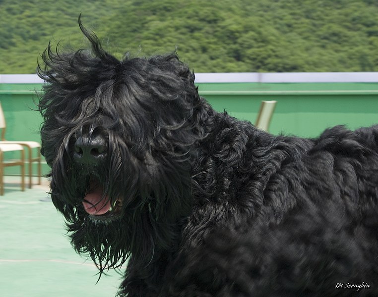
| Description | Black Russian Terrier | ||
| Date | |||
| Source | Flickr: Black Russian Terrier (블랙 러시안 테리어) | ||
| Author | Seongbin Im | ||
| Permission (Reusing this file) |
This file is licensed under the Creative Commons Attribution-Share Alike 2.0 Generic license.
|
| Camera location | | View this and other nearby images on: OpenStreetMap |
|---|
.jpg¶ms=037.694463_N_0127.221640_E_globe:Earth_type:camera_alt:155.996298_source:exif_&language=en)
File history
Click on a date/time to view the file as it appeared at that time.
| Date/Time | Thumbnail | Dimensions | User | Comment | |
|---|---|---|---|---|---|
| current | 03:04, 13 July 2012 | | 2,048 × 1,612 (727 KB) | Flickr upload bot (talk | contribs) | Uploaded from http://flickr.com/photo/59899594@N00/4909684839 using Flickr upload bot |
You cannot overwrite this file.
File usage on Commons
There are no pages that use this file.
File usage on other wikis
The following other wikis use this file:
- Usage on sr.wikipedia.org
.jpg&oldid=825137684)