File:BlankMap-World-USA-Can-UK-Aus.PNG
Size of this preview: 800 × 352 pixels. Other resolutions: 320 × 141 pixels | 640 × 282 pixels | 1,427 × 628 pixels.
Original file (1,427 × 628 pixels, file size: 41 KB, MIME type: image/png)
Captions
Captions
Add a one-line explanation of what this file represents

|
This file has been superseded by BlankMap-World-Subdivisions.PNG. It is recommended to use the other file. Please note that deleting superseded images requires consent. Reason to use the other file: "more complete, sourced"
|
Summary
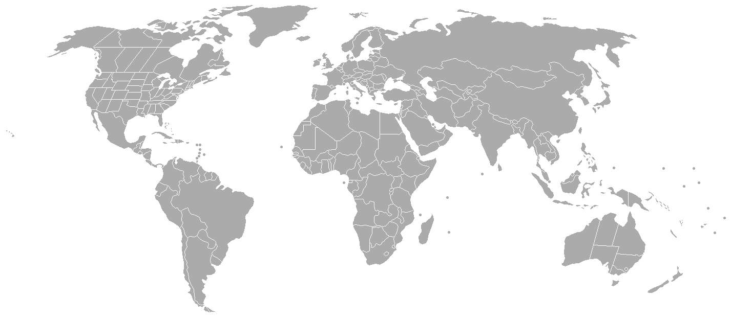
edit| Description | Blank map of the world based on Image:BlankMap-World.png showing US states, Canadian provinces, constituent countries of the United Kingdom and Australian states | ||||||||
| Date | |||||||||
| Source | Own work | ||||||||
| Author | Roke | ||||||||
| Permission (Reusing this file) |
I, the copyright holder of this work, hereby publish it under the following licenses:
You may select the license of your choice. |

File history
Click on a date/time to view the file as it appeared at that time.
| Date/Time | Thumbnail | Dimensions | User | Comment | |
|---|---|---|---|---|---|
| current | 15:18, 6 September 2014 | | 1,427 × 628 (41 KB) | Leftcry (talk | contribs) | Reverted to version as of 13:26, 16 June 2014 |
| 11:36, 6 September 2014 |  | 1,427 × 628 (30 KB) | Green Zero (talk | contribs) | Crimea is Ukraine | |
| 13:26, 16 June 2014 |  | 1,427 × 628 (41 KB) | WhyHellWhy (talk | contribs) | Reverted to version as of 06:31, 16 June 2014 | |
| 10:49, 16 June 2014 |  | 1,427 × 628 (30 KB) | Denniss (talk | contribs) | Reverted to version as of 10:10, 5 July 2008 | |
| 06:31, 16 June 2014 |  | 1,427 × 628 (41 KB) | WhyHellWhy (talk | contribs) | Crimea;South Sudan | |
| 10:10, 5 July 2008 |  | 1,427 × 628 (30 KB) | Roke~commonswiki (talk | contribs) | improve US | |
| 10:49, 24 January 2007 |  | 1,427 × 628 (30 KB) | Roke~commonswiki (talk | contribs) | ||
| 10:07, 24 January 2007 |  | 1,427 × 628 (53 KB) | Roke~commonswiki (talk | contribs) | ||
| 02:50, 5 June 2006 |  | 1,393 × 628 (50 KB) | Roke~commonswiki (talk | contribs) | montenegro independent | |
| 17:51, 12 May 2006 |  | 1,393 × 628 (50 KB) | Roke~commonswiki (talk | contribs) | prince edward island & remove couple stray dots, |
You cannot overwrite this file.
File usage on Commons
There are no pages that use this file.