File:Blank Spain Map (Autonomous Communities) with the neighbouring countries.svg

Size of this PNG preview of this SVG file: 699 × 600 pixels. Other resolutions: 280 × 240 pixels | 559 × 480 pixels | 895 × 768 pixels | 1,193 × 1,024 pixels | 2,387 × 2,048 pixels | 2,043 × 1,753 pixels.
Original file (SVG file, nominally 2,043 × 1,753 pixels, file size: 1.08 MB)
Captions
Captions
Add a one-line explanation of what this file represents
Summary edit
_with_the_neighbouring_countries.svg&action=edit§ion=1)
| Description |
Français : Carte vierge de l'Espagne (gris foncé) avec les pays frontaliers (gris clairs).
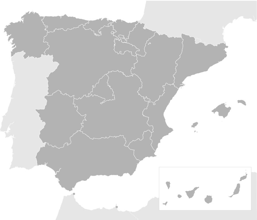
English: Blank Spain Map (Autonomous Communities) with the neighbouring countries |
| Date | |
| Source | File:España-loc.svg (Author : Miguillen) |
| Author | Tubezlob |
Licensing edit
_with_the_neighbouring_countries.svg&action=edit§ion=2)
I, the copyright holder of this work, hereby publish it under the following license:
This file is licensed under the Creative Commons Attribution-Share Alike 4.0 International license.
- You are free:
- to share – to copy, distribute and transmit the work
- to remix – to adapt the work
- Under the following conditions:
- attribution – You must give appropriate credit, provide a link to the license, and indicate if changes were made. You may do so in any reasonable manner, but not in any way that suggests the licensor endorses you or your use.
- share alike – If you remix, transform, or build upon the material, you must distribute your contributions under the same or compatible license as the original.
File history
Click on a date/time to view the file as it appeared at that time.
| Date/Time | Thumbnail | Dimensions | User | Comment | |
|---|---|---|---|---|---|
| current | 15:50, 1 March 2015 | | 2,043 × 1,753 (1.08 MB) | Tubezlob (talk | contribs) | User created page with UploadWizard |
You cannot overwrite this file.
File usage on Commons
There are no pages that use this file.
File usage on other wikis
The following other wikis use this file:
- Usage on es.wikipedia.org
- Usuario:Userbox/Ubicación
- Usuario:Israel soliz
- Usuario:Paconi
- Usuario:Paconi/Artículos
- Usuario:RamónMC
- Usuario:Paconi/UserboxConoceEspaña-2
- Usuario:Roxas25/Userboxes
- Usuario:JULIO VALVERDE MARTIN
- Usuario:Sdanir
- Usuario:Siu2
- Usuario:Jandro087
- Usuario:Galicus1
- Usuario:Userbox/Localización/España
- Usuaria:Userbox mujer/Localización/España
- Usuario:Casalarr
- Usuario:Bolros
- Usuario:SrEsteban
- Usuario:Santimonre
- Usage on fr.wikipedia.org
- Portail:Espagne
- Portail:Espagne/Géographie
- Gouvernement de l'Espagne
- Conseil de gouvernement d'Andalousie
- Junte de Galice
- Gouvernement de Catalogne
- Gouvernement de Navarre
- Gouvernement basque
- Gouvernement des îles Baléares
- Gouvernement d'Aragon
- Conseil de la Généralité valencienne
- Wikipédia:Atelier graphique/Cartes/Archives/mars 2015
- Gouvernement des Canaries
- Gouvernement de la communauté de Madrid
- Portail:Espagne/Territoires
- Utilisateur:Berdea/Portail:Espagne/Géographie
- Utilisateur:Berdea/Portail:Catalogne/Géographie
- Junte de Castille-et-León
- Conseil de gouvernement de la principauté des Asturies
- Conseil de gouvernement de la région de Murcie
- Gouvernement de Cantabrie
- Modèle:Palette Gouvernements en Espagne
- Junte d'Estrémadure
- Usage on gl.wikipedia.org
- Categoría:Festas de España por comunidade autónoma
- Categoría:Arquitectura de España por comunidade autónoma
- Categoría:Accidentes xeográficos de España por comunidade autónoma
- Categoría:Organización territorial de España por comunidade autónoma
- Categoría:Estacións de tren de España por comunidade autónoma
- Categoría:Equipos de fútbol de España por comunidade autónoma
- Categoría:Deportistas de España por comunidade autónoma
- Categoría:Política de España por comunidade autónoma
- Categoría:Categorías por comunidade autónoma
View more global usage of this file.
_with_the_neighbouring_countries.svg)
_with_the_neighbouring_countries.svg&oldid=825332932)