File:Blank world map Robinson projection.svg

Size of this PNG preview of this SVG file: 800 × 406 pixels. Other resolutions: 320 × 162 pixels | 640 × 325 pixels | 1,024 × 520 pixels | 1,280 × 649 pixels | 2,560 × 1,299 pixels | 2,048 × 1,039 pixels.
Original file (SVG file, nominally 2,048 × 1,039 pixels, file size: 202 KB)
Captions
Captions
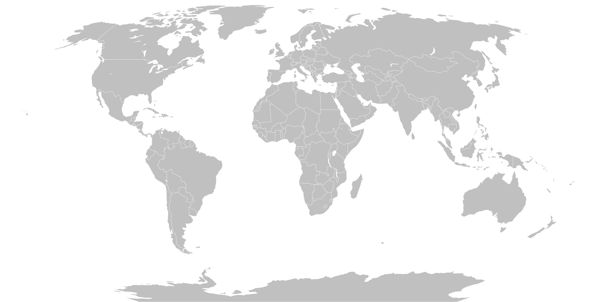
Blank political map of the world meant to be colored-in using SVG styling, on a Robinson projection
Summary edit
| Description |
English: An SVG map of the world with grouping enabled to connect all non-contiguous parts of a country's territory for easy coloring. Smaller countries can also be represented by larger circles to show their data more clearly. Borders shown represent the de facto status of all territories in 2022, as according to Natural Earth (naturalearthdata.com). In the future it would be nice to have hidden features that can be enabled in the CSS for territorial disputes, but right now what you see is what you get. Robinson projection.
This image is inspired by and very similar to File:BlankMap-World.svg. The reason I'm uploading this is purely for consistency with File:Blank world map Equal Earth projection.svg, File:Blank world map Dymaxion projection.svg, and a few others with other more obscure map projections. |
| Date | |
| Source | Own work |
| Author | Justinkunimune |
| Other versions |
|
Licensing edit
I, the copyright holder of this work, hereby publish it under the following license:
| This file is made available under the Creative Commons CC0 1.0 Universal Public Domain Dedication. | |
| The person who associated a work with this deed has dedicated the work to the public domain by waiving all of their rights to the work worldwide under copyright law, including all related and neighboring rights, to the extent allowed by law. You can copy, modify, distribute and perform the work, even for commercial purposes, all without asking permission.
|
File history
Click on a date/time to view the file as it appeared at that time.
| Date/Time | Thumbnail | Dimensions | User | Comment | |
|---|---|---|---|---|---|
| current | 23:32, 29 December 2023 | | 2,048 × 1,039 (202 KB) | Justinkunimune (talk | contribs) | hide circles by selecting them with "circle", since ".country circle" doesn't seem to work |
| 07:39, 29 December 2023 |  | 2,048 × 1,039 (202 KB) | Justinkunimune (talk | contribs) | Uploaded own work with UploadWizard |
You cannot overwrite this file.
File usage on Commons
The following page uses this file: