File:Bogotá - aerial view - Country Club.jpg
Size of this preview: 800 × 507 pixels. Other resolutions: 320 × 203 pixels | 640 × 406 pixels | 1,024 × 649 pixels.
Original file (1,024 × 649 pixels, file size: 637 KB, MIME type: image/jpeg)
Captions
Captions
Add a one-line explanation of what this file represents
Summary edit
| Description |
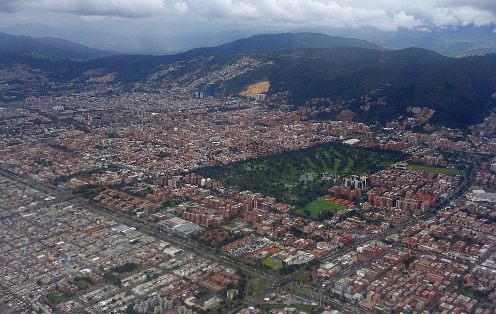
English: Aerial view of northern Bogotá; Country Club, Calle 127, Autopista Norte, Calle 134, Eastern Hills |
| Date | |
| Source | Own work |
| Author | Tisquesusa |
| Camera location | | View this and other nearby images on: OpenStreetMap |
|---|
Licensing edit
I, the copyright holder of this work, hereby publish it under the following license:
This file is licensed under the Creative Commons Attribution 4.0 International license.
- You are free:
- to share – to copy, distribute and transmit the work
- to remix – to adapt the work
- Under the following conditions:
- attribution – You must give appropriate credit, provide a link to the license, and indicate if changes were made. You may do so in any reasonable manner, but not in any way that suggests the licensor endorses you or your use.
File history
Click on a date/time to view the file as it appeared at that time.
| Date/Time | Thumbnail | Dimensions | User | Comment | |
|---|---|---|---|---|---|
| current | 17:30, 5 October 2016 | | 1,024 × 649 (637 KB) | Tisquesusa (talk | contribs) | {{Information |Description ={{en|1=Aerial view of northern Bogotá; Country Club, Calle 127, Autopista Norte, Calle 134, Eastern Hills}} |Source ={{own}} |Author =Tisquesusa |Date =2016-08-27 |Permission... |
You cannot overwrite this file.
File usage on Commons
The following 4 pages use this file:
File usage on other wikis
The following other wikis use this file:
- Usage on de.wikipedia.org
- Usage on de.wikivoyage.org
- Usage on en.wikipedia.org
- Usage on eo.wikipedia.org
- Usage on es.wikipedia.org
- Usage on fa.wikipedia.org
- Usage on gl.wikipedia.org
- Usage on it.wikipedia.org
- Usage on no.wikipedia.org
- Usage on www.wikidata.org