File:Boundary of the Price Mountain wildland as identified by the Wilderness Society.png

Size of this preview: 800 × 546 pixels. Other resolutions: 320 × 218 pixels | 640 × 437 pixels | 1,024 × 699 pixels | 1,280 × 873 pixels | 2,033 × 1,387 pixels.
Original file (2,033 × 1,387 pixels, file size: 4.64 MB, MIME type: image/png)
Captions
Captions
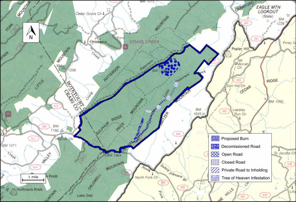
Boundary of the Price Mountain wildland as identified by the Wilderness Society
Summary edit
| Description |
English: Boundary of the Price Mountain wildland as identified by the Wilderness Society |
| Date | |
| Source |
the file was created by drawing a boundary on a scanned image of the Forest Service map "Jefferson National Forest (North Half), Virginia, 1983, Recreation Guide R8-RG 167, reprinted June 1997”. A jpg file of the scanned image is  |
| Author | US Forest Service |
Licensing edit
This image is in the public domain in the United States because it only contains materials that originally came from the United States Geological Survey, an agency of the United States Department of the Interior. For more information, see the official USGS copyright policy.
|
File history
Click on a date/time to view the file as it appeared at that time.
| Date/Time | Thumbnail | Dimensions | User | Comment | |
|---|---|---|---|---|---|
| current | 04:14, 7 February 2019 | | 2,033 × 1,387 (4.64 MB) | WilderAddict (talk | contribs) | User created page with UploadWizard |
You cannot overwrite this file.
File usage on Commons
There are no pages that use this file.
File usage on other wikis
The following other wikis use this file:
- Usage on en.wikipedia.org