File:Boundary stone, Brighouse and Denholme Gate Road, Hipperholme - geograph.org.uk - 613473.jpg

Size of this preview: 507 × 600 pixels. Other resolutions: 203 × 240 pixels | 541 × 640 pixels.
Original file (541 × 640 pixels, file size: 58 KB, MIME type: image/jpeg)
Captions
Captions
Add a one-line explanation of what this file represents
Summary
edit
| Description |
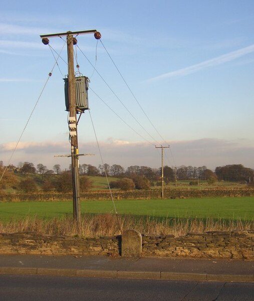
English: Boundary stone, Brighouse and Denholme Gate Road, Hipperholme This is where the boundary between Hipperholme UD and Norwood Green & Coley CP crossed the road, having followed the roadside wall from Northedge lane. The stone is similar to other boundary stones in the area, with a rounded top, and I was puzzled as to why it is blank. Then I looked at the back of it and found that it has been turned round. On the back is a vertical line with Norwood Green on one side and Hipperholme on the other. Only part of the inscription can be seen due to the proximity of the stone wall behind. |
| Date | |
| Source | From geograph.org.uk |
| Author | Humphrey Bolton |
| Attribution (required by the license) | Humphrey Bolton / Boundary stone, Brighouse and Denholme Gate Road, Hipperholme / |
| Camera location | | View this and other nearby images on: OpenStreetMap |
|---|
_region:GB-ENG_heading:90.00&language=en)
| Object location | | View this and other nearby images on: OpenStreetMap |
|---|
_region:GB-ENG_heading:90.00&language=en)
Licensing
edit

|
This image was taken from the Geograph project collection. See this photograph's page on the Geograph website for the photographer's contact details. The copyright on this image is owned by Humphrey Bolton and is licensed for reuse under the Creative Commons Attribution-ShareAlike 2.0 license.
|
This file is licensed under the Creative Commons Attribution-Share Alike 2.0 Generic license.
Attribution: Humphrey Bolton
- You are free:
- to share – to copy, distribute and transmit the work
- to remix – to adapt the work
- Under the following conditions:
- attribution – You must give appropriate credit, provide a link to the license, and indicate if changes were made. You may do so in any reasonable manner, but not in any way that suggests the licensor endorses you or your use.
- share alike – If you remix, transform, or build upon the material, you must distribute your contributions under the same or compatible license as the original.
- Remove redundant categories and try to put this image in the most specific category/categories
- Remove this template
- The location categories are based on information from this geonames tool and this OpenStreetMap tool combined with a database. You can also have a look at this tool from mysociety.
- The topic category from Geograph was Boundary stone (find similar images stone at Geograph)
File history
Click on a date/time to view the file as it appeared at that time.
| Date/Time | Thumbnail | Dimensions | User | Comment | |
|---|---|---|---|---|---|
| current | 02:01, 7 February 2011 | | 541 × 640 (58 KB) | GeographBot (talk | contribs) | == {{int:filedesc}} == {{Information |description={{en|1=Boundary stone, Brighouse and Denholme Gate Road, Hipperholme This is where the boundary between Hipperholme UD and Norwood Green & Coley CP crossed the road, having followed the roadside wall from |
You cannot overwrite this file.
File usage on Commons
There are no pages that use this file.