File:Bouziès Chemin de halage.JPG
Size of this preview: 800 × 600 pixels. Other resolutions: 320 × 240 pixels | 640 × 480 pixels | 1,024 × 768 pixels | 1,280 × 960 pixels | 2,560 × 1,920 pixels.
Original file (2,560 × 1,920 pixels, file size: 2.09 MB, MIME type: image/jpeg)
Captions
Captions
Add a one-line explanation of what this file represents
Summary edit
| Description |
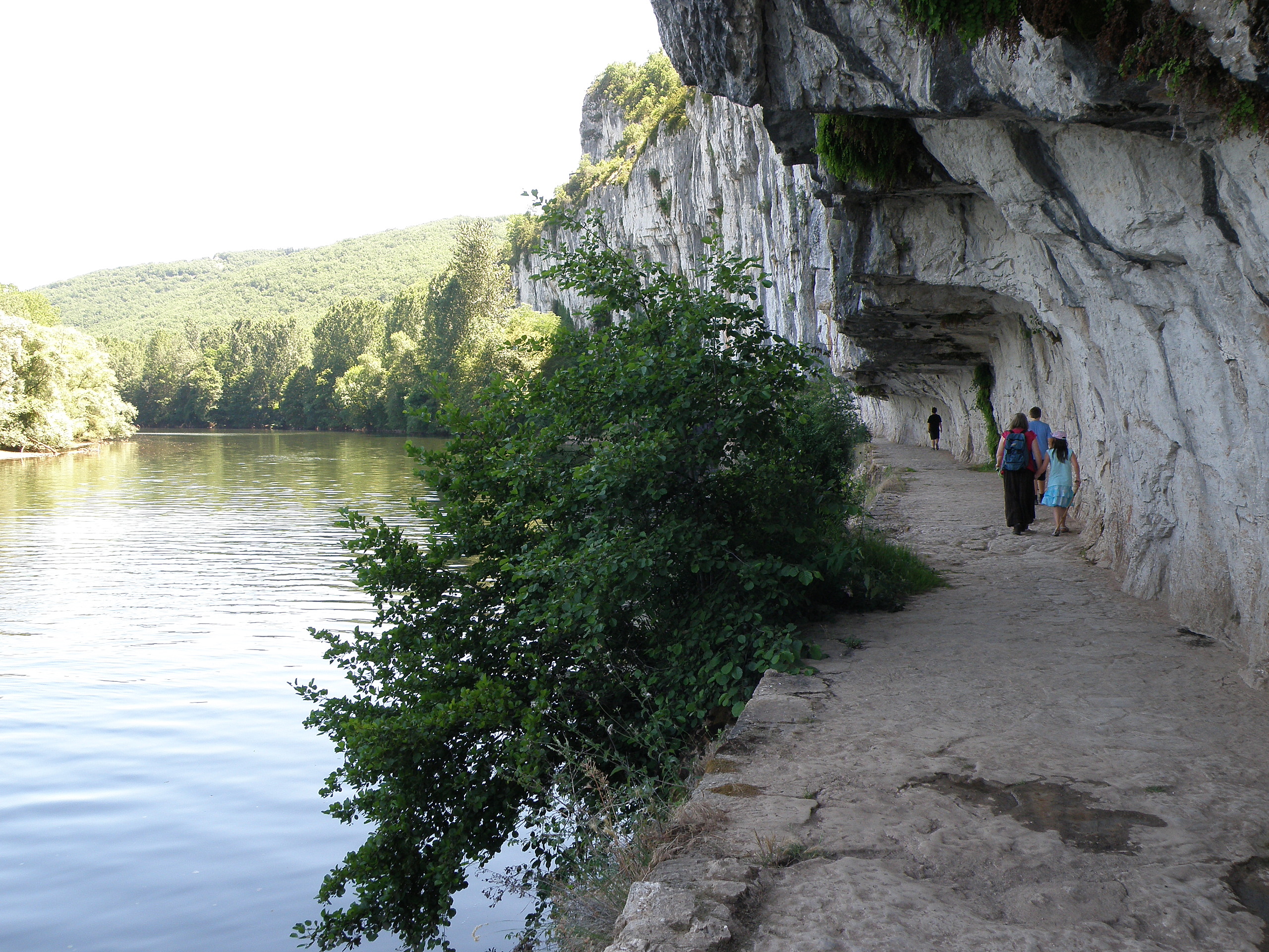
Français : Bouziès, commune et village du département du Lot (région Midi-Pyrénées, France), situés sur le Lot à une quinzaine de km (à vol d’oiseau) à l’est, et donc en amont, de Cahors. Chemin de halage, sur la rive gauche du Lot, à un km environ en amont du village, non loin de l'écluse du Ganil (comm. de Saint-Cirq-Lapopie). |
| Date | |
| Source | Self-photographed |
| Author | Torsade de Pointes |
Licensing edit
| I, the copyright holder of this work, release this work into the public domain. This applies worldwide. In some countries this may not be legally possible; if so: I grant anyone the right to use this work for any purpose, without any conditions, unless such conditions are required by law. |
File history
Click on a date/time to view the file as it appeared at that time.
| Date/Time | Thumbnail | Dimensions | User | Comment | |
|---|---|---|---|---|---|
| current | 19:29, 11 October 2010 | | 2,560 × 1,920 (2.09 MB) | Torsade de Pointes (talk | contribs) | {{Information |Description={{en|1=Bouziès (Lot)}} |Source=Photographie personnelle |Author=Torsade de Pointes |Date= |Permission= |other_versions= }} Category:Bouziès |
You cannot overwrite this file.
File usage on Commons
There are no pages that use this file.
File usage on other wikis
The following other wikis use this file:
- Usage on de.wikipedia.org
- Usage on sl.wikipedia.org