File:Brcko 1995 2000.png

Size of this preview: 781 × 600 pixels. Other resolutions: 313 × 240 pixels | 625 × 480 pixels | 904 × 694 pixels.
Original file (904 × 694 pixels, file size: 57 KB, MIME type: image/png)
Captions
Captions
Add a one-line explanation of what this file represents
Summary edit
| Description |
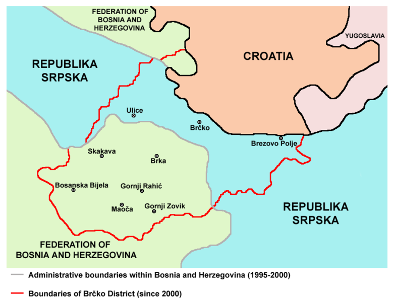
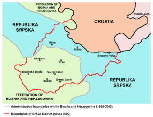
English: Serbian corridor (1995-2000) and Brčko District (since 2000) within Bosnia and Herzegovina. Srpskohrvatski / српскохрватски: Srpski koridor (1995-2000) i Distrikt Brčko (posle 2000) u okviru Bosne i Hercegovine. |
| Date | |
| Source | Own work |
| Author | PANONIAN |
| Other versions |
 |
Licensing edit
I, the copyright holder of this work, hereby publish it under the following license:
| This file is made available under the Creative Commons CC0 1.0 Universal Public Domain Dedication. | |
| The person who associated a work with this deed has dedicated the work to the public domain by waiving all of their rights to the work worldwide under copyright law, including all related and neighboring rights, to the extent allowed by law. You can copy, modify, distribute and perform the work, even for commercial purposes, all without asking permission.
|
References edit
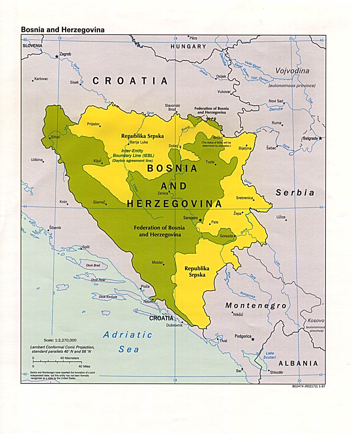
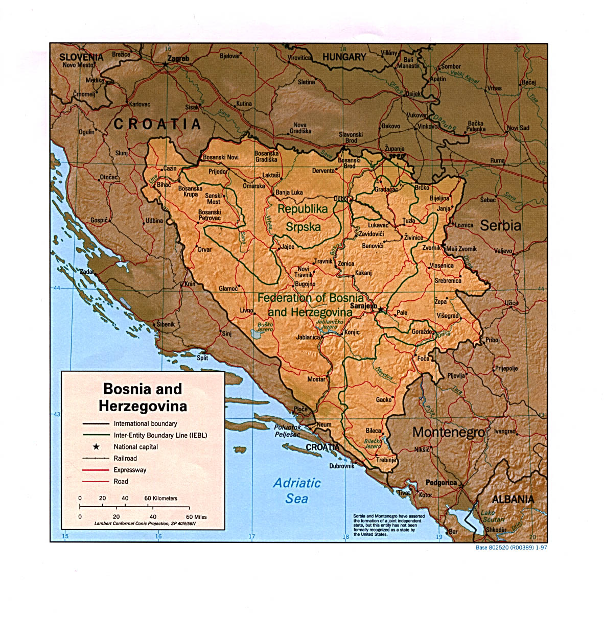
Boundaries (1995-2000):
- http://www.lib.utexas.edu/maps/europe/bosnia_herzegovina_pol97.jpg
- http://www.lib.utexas.edu/maps/bosnia/bosnia_herzegovina_rel_97.jpg
- http://balkan.fabian-vendrig.eu/fileadmin/Balkans/maps/political_map-central-balkan2008.jpg archive copy at the Wayback Machine
- http://www.srpska-mreza.com/MAPS/Bosnia/DaytonBosnia.jpg
- http://www.worldmapsonline.com/images/OutlineMaps/Flags/Bosnia%20and%20Herzegovina2.jpg archive copy at the Wayback Machine
- United States Department of State
- http://www.history-map.com/picture/000/pictures/agreement-ceasefire-Dayton-and.jpg
- http://www.history-map.com/picture/000/pictures/agreement-Dayton-areas-over.jpg
- http://www.history.army.mil/brochures/Bosnia-Herzegovina/images/Map2sm.jpg archive copy at the Wayback Machine
- http://www.geographicguide.com/pictures/map-bosnia.jpg
- http://4.bp.blogspot.com/-YLLG4PJYyrE/Tb35vS89vII/AAAAAAAAAAc/Qf5SrRtkiwc/s1600/bosnia_herzegovina_political_map.gif[dead link]
Brčko District (after 2000):
- http://www.ohr.int/ohr-offices/brcko/images/mapa%20BD.JPG
- http://www.ohr.int/ohr-offices/brcko/images/map-brcko-district.jpg
- http://2.bp.blogspot.com/_5WVGK4UtqdU/Sg63z3U2T2I/AAAAAAAAAKA/0Gn1b793Isw/s400/Karta+DC+Brčko.gif[dead link]
- http://i21.tinypic.com/35higdf.gif
- http://i40.tinypic.com/25r34f9.jpg
- http://i16.tinypic.com/63w7807.jpg
- http://www.conflictgeographies.org/uploads/2/6/1/8/2618869/388168.jpg?490 archive copy at the Wayback Machine
- United States Department of State
- http://www.thomasgraz.net/glass/map-BIH.gif
- http://vozi.org/images/stories/broj%20registrovanih%20vozila%202010.godina.png
- http://www.conflictgeographies.org/uploads/2/6/1/8/2618869/8958714.jpg?490 archive copy at the Wayback Machine
- http://www.slobodanjovanovic.org/wp-content/uploads/2009/12/bosna-kantoni1.jpg[dead link]
- http://www.visitbosnia.org/bih/images/stories/o_bih/drzavno_uredjenje/entiteti.jpg[dead link]
Largest settlements in the area:
- http://world-gazetteer.com/wg.php?x=1&men=gcis&lng=en&des=gamelan&geo=-27&col=abcdefghinoq&msz=1500&geo=-386[dead link]
File history
Click on a date/time to view the file as it appeared at that time.
| Date/Time | Thumbnail | Dimensions | User | Comment | |
|---|---|---|---|---|---|
| current | 10:06, 5 December 2013 | | 904 × 694 (57 KB) | PANONIAN (talk | contribs) | aesthetics |
| 20:00, 27 December 2011 |  | 904 × 694 (57 KB) | PANONIAN (talk | contribs) | {{Information |Description ={{en|1=Serbian corridor (1995-2000) and Brčko District (since 2000) with Bosnia and Herzegovina.}} |Source ={{own}} |Author =PANONIAN |Date =2011 |Permission = |other_versions |
You cannot overwrite this file.
File usage on Commons
The following 2 pages use this file:
File usage on other wikis
The following other wikis use this file:
- Usage on ca.wikipedia.org
- Usage on hr.wikipedia.org
- Usage on ro.wikipedia.org
- Usage on sh.wikipedia.org