File:British Windward Islands.gif
Size of this preview: 698 × 599 pixels. Other resolutions: 280 × 240 pixels | 559 × 480 pixels | 894 × 768 pixels | 1,192 × 1,024 pixels | 1,346 × 1,156 pixels.
Original file (1,346 × 1,156 pixels, file size: 70 KB, MIME type: image/gif, looped, 5 frames, 11 s)
Captions
Captions
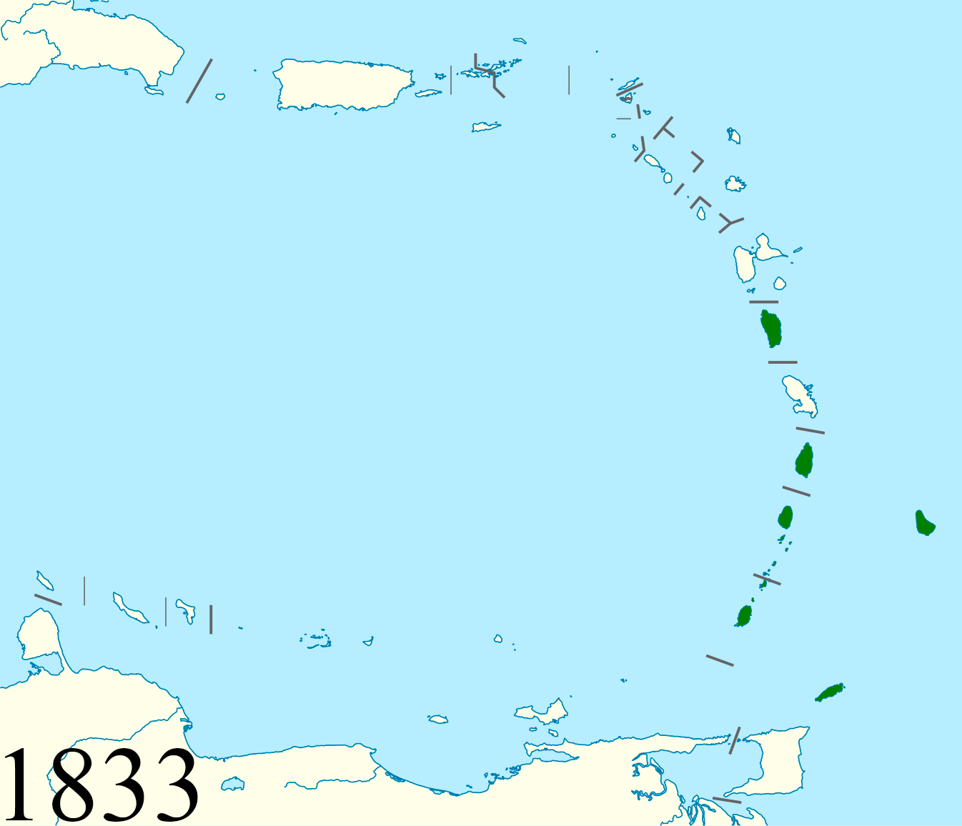
Animated map of the British Windward Islands (1833, 1870, 1885, 1889, 1940).
Summary edit
| Description |
Русский: Британские Наветренные острова — британская колония на Наветренных островах.
English: The British Windwards Islands, a British colony in the Windward Islands of the West Indies. |
| Date | |
| Source | Own work, |
| Author | Al-mazeratti |
Licensing edit
I, the copyright holder of this work, hereby publish it under the following license:
This file is licensed under the Creative Commons Attribution-Share Alike 3.0 Unported license.
- You are free:
- to share – to copy, distribute and transmit the work
- to remix – to adapt the work
- Under the following conditions:
- attribution – You must give appropriate credit, provide a link to the license, and indicate if changes were made. You may do so in any reasonable manner, but not in any way that suggests the licensor endorses you or your use.
- share alike – If you remix, transform, or build upon the material, you must distribute your contributions under the same or compatible license as the original.
File history
Click on a date/time to view the file as it appeared at that time.
| Date/Time | Thumbnail | Dimensions | User | Comment | |
|---|---|---|---|---|---|
| current | 19:54, 26 August 2020 | | 1,346 × 1,156 (70 KB) | Al-mazeratti (talk | contribs) | Uploaded own work with UploadWizard |
You cannot overwrite this file.
File usage on Commons
The following page uses this file:
File usage on other wikis
The following other wikis use this file:
- Usage on en.wikipedia.org
- Usage on es.wikipedia.org
- Usage on id.wikipedia.org
- Usage on ru.wikipedia.org
- Usage on www.wikidata.org
- Usage on zh.wikipedia.org