File:Brusno Stare - cmentarz greko-katolicki na terenie dawnej wsi.jpg

Size of this preview: 800 × 536 pixels. Other resolutions: 320 × 214 pixels | 640 × 429 pixels | 1,024 × 686 pixels | 1,280 × 857 pixels | 1,599 × 1,071 pixels.
Original file (1,599 × 1,071 pixels, file size: 582 KB, MIME type: image/jpeg)
Captions
Captions
Add a one-line explanation of what this file represents
Summary edit
| Description |
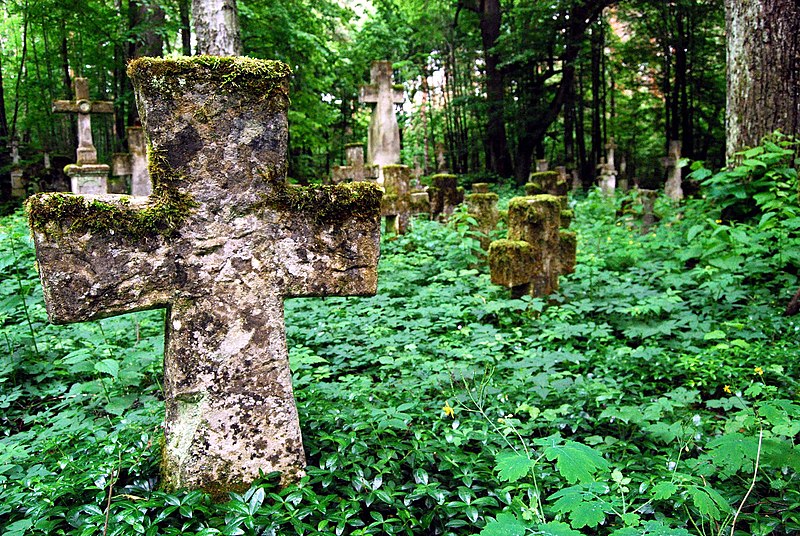
Polski: Pozostałości cmentarza na terenie nieistniejącej już wsi Brusno Stare English: Brusno Stare - former village cemetery |
| Date | |
| Source | Own work |
| Author | Cyfranek |
| Camera location | | View this and other nearby images on: OpenStreetMap |
|---|
Licensing edit
I, the copyright holder of this work, hereby publish it under the following license:
This file is licensed under the Creative Commons Attribution-Share Alike 3.0 Poland license.
- You are free:
- to share – to copy, distribute and transmit the work
- to remix – to adapt the work
- Under the following conditions:
- attribution – You must give appropriate credit, provide a link to the license, and indicate if changes were made. You may do so in any reasonable manner, but not in any way that suggests the licensor endorses you or your use.
- share alike – If you remix, transform, or build upon the material, you must distribute your contributions under the same or compatible license as the original.


|
This image was uploaded as part of Wiki Loves Monuments 2011.
|
 |
This picture has been nominated for the Wiki Loves Monuments international finals by the national contest in Poland . source
|
File history
Click on a date/time to view the file as it appeared at that time.
| Date/Time | Thumbnail | Dimensions | User | Comment | |
|---|---|---|---|---|---|
| current | 18:25, 5 September 2011 | | 1,599 × 1,071 (582 KB) | Cyfranek (talk | contribs) |
You cannot overwrite this file.
File usage on Commons
The following 10 pages use this file:
- Wiki Loves Monuments 2011 - ganadores
- Wiki Loves Monuments 2011 - lauréats
- Wiki Loves Monuments 2011 - vencedores
- Wiki Loves Monuments 2011 - Победители
- Wiki Loves Monuments 2011 vinnare
- Wiki Loves Monuments 2011 winnaars
- Wiki Loves Monuments 2011 winners
- Wiki Loves Monuments 2011 – Gewinner
- Wiki Loves Monuments 2011 – nyertesek
- Commons:Wiki Loves Monuments 2011 in Poland
File usage on other wikis
The following other wikis use this file:
- Usage on da.wikipedia.org
- Usage on de.wikipedia.org
- Usage on en.wikipedia.org
- Usage on id.wikipedia.org
- Usage on nl.wikipedia.org
- Usage on pl.wikipedia.org
- Usage on pl.wikimedia.org
- Usage on pl.wikinews.org