File:Building D interior looking south - Daniel F. Waters Germantown Dye Works, Building D, 37-55 East Wister Street, Philadelphia, Philadelphia County, PA HAER PA,51-PHILA,716D-4.tif
Size of this JPG preview of this TIF file: 746 × 599 pixels. Other resolutions: 299 × 240 pixels | 598 × 480 pixels | 956 × 768 pixels | 1,275 × 1,024 pixels | 2,549 × 2,048 pixels | 5,000 × 4,017 pixels.
Original file (5,000 × 4,017 pixels, file size: 19.16 MB, MIME type: image/tiff)
Captions
Captions
Add a one-line explanation of what this file represents
Summary edit
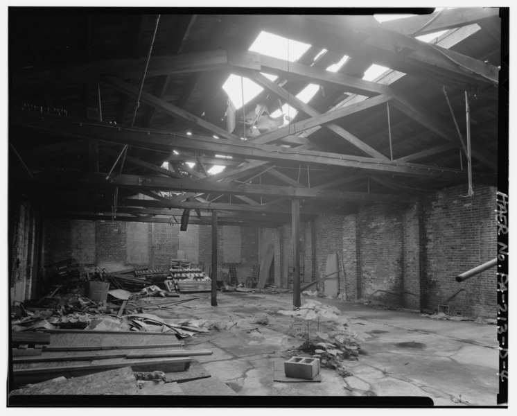
| Building D interior looking south - Daniel F. Waters Germantown Dye Works, Building D, 37-55 East Wister Street, Philadelphia, Philadelphia County, PA | ||||
|---|---|---|---|---|
| Photographer |
Gouldey, Richard |
|||
| Title |
Building D interior looking south - Daniel F. Waters Germantown Dye Works, Building D, 37-55 East Wister Street, Philadelphia, Philadelphia County, PA |
|||
| Depicted place | Pennsylvania; Philadelphia County; Philadelphia | |||
| Date | 1990 | |||
| Dimensions | 4 x 5 in. | |||
| Current location |
Library of Congress Prints and Photographs Division Washington, D.C. 20540 USA http://hdl.loc.gov/loc.pnp/pp.print |
|||
| Accession number |
HAER PA,51-PHILA,716D-4 |
|||
| Credit line |
|
|||
| Notes |
|
|||
| Source | https://www.loc.gov/pictures/item/pa3637.photos.361405p | |||
| Permission (Reusing this file) |
|
|||

| Object location | | View this and other nearby images on: OpenStreetMap |
|---|
File history
Click on a date/time to view the file as it appeared at that time.
| Date/Time | Thumbnail | Dimensions | User | Comment | |
|---|---|---|---|---|---|
| current | 04:47, 1 August 2014 |  | 5,000 × 4,017 (19.16 MB) | Fæ (talk | contribs) | GWToolset: Creating mediafile for Fæ. HABS 31 July 2014 (3000:3200) |
You cannot overwrite this file.
File usage on Commons
The following page uses this file: