File:Builth Wells-Garth Road Junction.jpg
No higher resolution available.
Builth_Wells-Garth_Road_Junction.jpg (640 × 428 pixels, file size: 285 KB, MIME type: image/jpeg)
Captions
Captions
Add a one-line explanation of what this file represents
Summary edit
| Description |
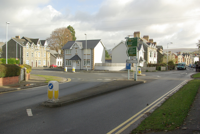
English: Garth Road Junction Junction in Garth Road, the A483 splits here, southbound coming from the right, the northbound veers off left through Park Road. |
| Date | |
| Source | From geograph.org.uk |
| Author | Phil Jones |
| Attribution (required by the license) | Phil Jones / Garth Road Junction / |
| Camera location | | View this and other nearby images on: OpenStreetMap |
|---|
Licensing edit

|
This image was taken from the Geograph project collection. See this photograph's page on the Geograph website for the photographer's contact details. The copyright on this image is owned by Phil Jones and is licensed for reuse under the Creative Commons Attribution-ShareAlike 2.0 license.
|
This file is licensed under the Creative Commons Attribution-Share Alike 2.0 Generic license.
Attribution: Phil Jones
- You are free:
- to share – to copy, distribute and transmit the work
- to remix – to adapt the work
- Under the following conditions:
- attribution – You must give appropriate credit, provide a link to the license, and indicate if changes were made. You may do so in any reasonable manner, but not in any way that suggests the licensor endorses you or your use.
- share alike – If you remix, transform, or build upon the material, you must distribute your contributions under the same or compatible license as the original.
File history
Click on a date/time to view the file as it appeared at that time.
| Date/Time | Thumbnail | Dimensions | User | Comment | |
|---|---|---|---|---|---|
| current | 19:13, 17 March 2009 | | 640 × 428 (285 KB) | Прон (talk | contribs) | {{Information |Description={{bg|1=Изглед от град Билт Уелс}} |Source=http://www.geograph.org.uk/photo/1042354 |Author=Phil Jones |Date=11 November, 2008 |Permission= |other_versions= }} <!--{{ImageUpload|full}}--> |
You cannot overwrite this file.
File usage on Commons
There are no pages that use this file.
File usage on other wikis
The following other wikis use this file:
- Usage on bg.wikipedia.org