File:Bundesautobahn 14 map.png
Size of this preview: 443 × 599 pixels. Other resolutions: 177 × 240 pixels | 355 × 480 pixels | 568 × 768 pixels | 758 × 1,024 pixels | 2,052 × 2,773 pixels.
Original file (2,052 × 2,773 pixels, file size: 562 KB, MIME type: image/png)
Captions
Captions
Add a one-line explanation of what this file represents
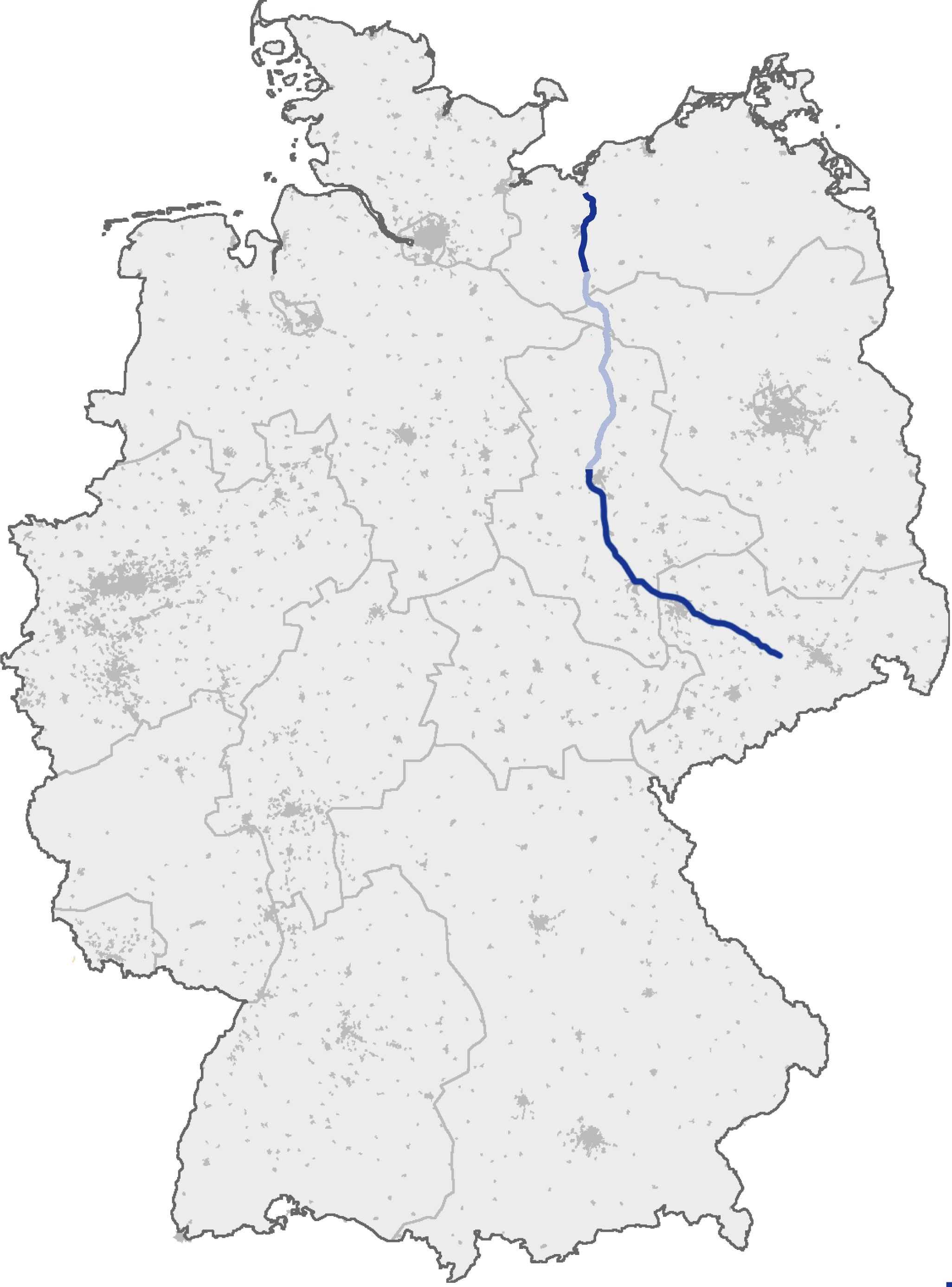
| Description | (Geplanter) Verlauf der Bundesautobahn A 14 |
| Date | (original text: 17. September 2006) |
| Source | de.wikipedia, original uploader was de:user:Heierlon, original picture was here |
| Author | Thorsten Weber |
| Permission (Reusing this file) |
GFDL-OpenGeoDB |
This image was generated with OpenGeoDB. The information there is placed in the public domain, images generated from OpenGeoDB are derivative works without passing the threshold of creativity, they are therefore also public domain.
| This work is ineligible for copyright and therefore in the public domain because it consists entirely of information that is common property and contains no original authorship. |
File history
Click on a date/time to view the file as it appeared at that time.
| Date/Time | Thumbnail | Dimensions | User | Comment | |
|---|---|---|---|---|---|
| current | 19:13, 20 December 2009 | | 2,052 × 2,773 (562 KB) | Niteshift (talk | contribs) | Schwerin-Nord - Jesendorf light -> dark blue |
| 22:49, 18 June 2007 |  | 2,052 × 2,773 (720 KB) | Niteshift (talk | contribs) | ||
| 14:55, 6 April 2007 |  | 2,052 × 2,773 (702 KB) | Niteshift (talk | contribs) | ||
| 19:03, 13 September 2005 |  | 1,122 × 1,515 (77 KB) | Qualle (talk | contribs) | Bundesautobahn 14 in Germany {{GFDL-OpenGeoDB}} 014 |
You cannot overwrite this file.
File usage on Commons
The following 2 pages use this file:
File usage on other wikis
The following other wikis use this file:
- Usage on cs.wikipedia.org
- Usage on de.wikipedia.org
- Usage on fa.wikipedia.org
- Usage on fr.wikipedia.org
- Usage on hr.wikipedia.org
- Usage on hsb.wikipedia.org
- Usage on hu.wikipedia.org
- Usage on ja.wikipedia.org
- Usage on no.wikipedia.org
- Usage on pt.wikipedia.org
- Usage on sk.wikipedia.org