File:Bundesgartenschau 2021 egapark 220.JPG
Size of this preview: 800 × 532 pixels. Other resolutions: 320 × 213 pixels | 640 × 425 pixels | 1,024 × 680 pixels | 1,280 × 851 pixels | 2,560 × 1,701 pixels | 4,912 × 3,264 pixels.
Original file (4,912 × 3,264 pixels, file size: 7.97 MB, MIME type: image/jpeg)
Captions
Captions
Add a one-line explanation of what this file represents
Summary edit
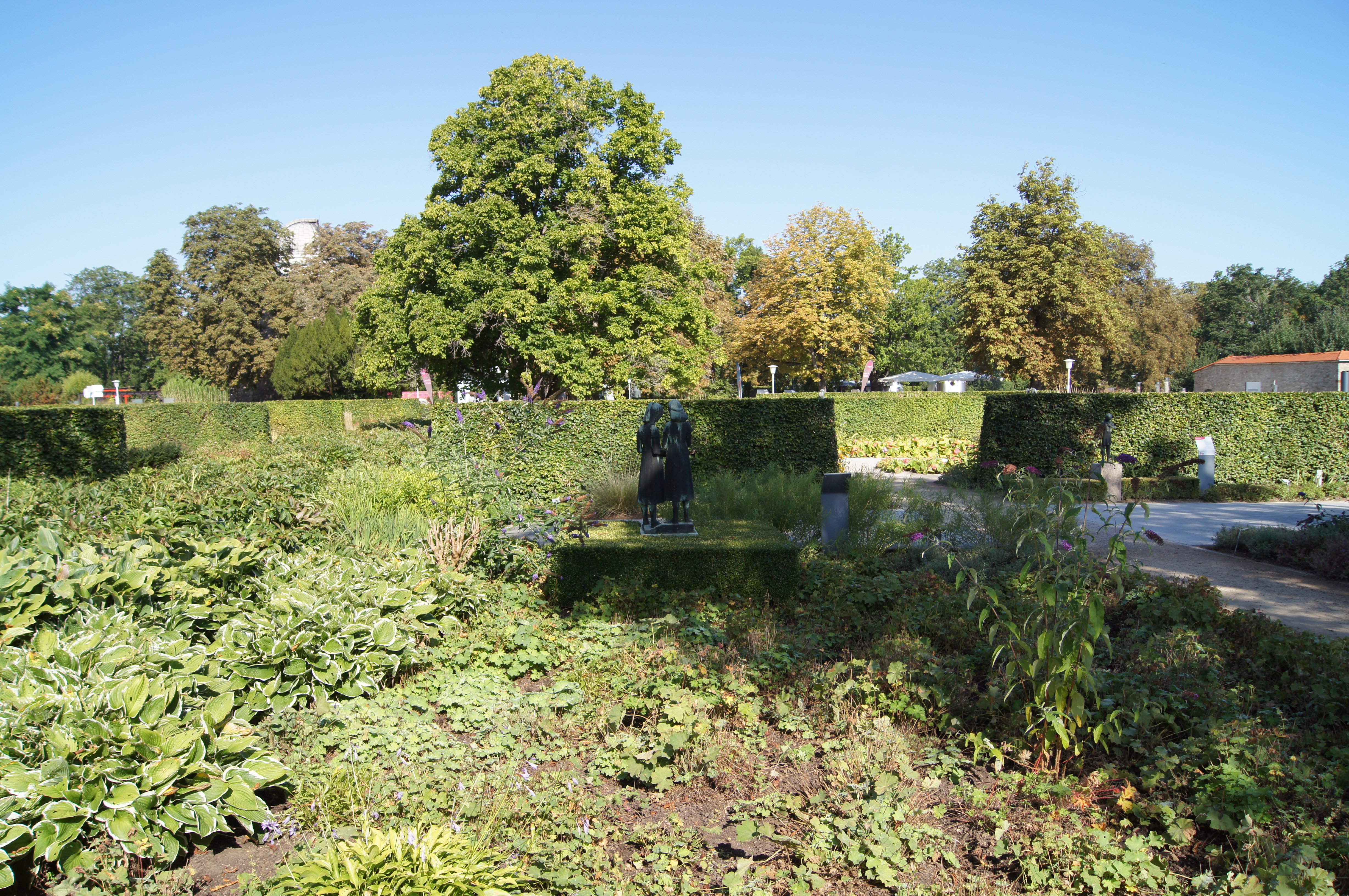
| Gerhard Geyer: Musizierende Mädchen
|
||||||||||||||||||||
|---|---|---|---|---|---|---|---|---|---|---|---|---|---|---|---|---|---|---|---|---|
| Artist |
|
 | ||||||||||||||||||
| Photographer | ||||||||||||||||||||
| Title |
German: Musizierende Mädchen Musizierende Mädchen |
|||||||||||||||||||
| Object type |
sculpture |
|||||||||||||||||||
| Date | 3 September 2021, 10:43:52 | |||||||||||||||||||
| Medium |
bronze |
|||||||||||||||||||
| Collection | ||||||||||||||||||||
| Object location |
|
|||||||||||||||||||
| Source/Photographer | Own work | |||||||||||||||||||
| Other versions |
|
|||||||||||||||||||


| Eberhard Reppold: Kind mit Blume
|
||||||||||||||||||||
|---|---|---|---|---|---|---|---|---|---|---|---|---|---|---|---|---|---|---|---|---|
| Artist |
|
 | ||||||||||||||||||
| Photographer | ||||||||||||||||||||
| Title |
Kind mit Blume |
|||||||||||||||||||
| Object type |
sculpture / statue |
|||||||||||||||||||
| Date |
1962 |
|||||||||||||||||||
| Medium |
bronze |
|||||||||||||||||||
| Collection | ||||||||||||||||||||
| Object location |
|
|||||||||||||||||||
| Source/Photographer | Own work | |||||||||||||||||||
| Camera location | | View this and other nearby images on: OpenStreetMap |
|---|
Licensing edit
Sebastian Wallroth, the copyright holder of this work, hereby publishes it under the following license:
This file is licensed under the Creative Commons Attribution 4.0 International license.
Attribution: Sebastian Wallroth
- You are free:
- to share – to copy, distribute and transmit the work
- to remix – to adapt the work
- Under the following conditions:
- attribution – You must give appropriate credit, provide a link to the license, and indicate if changes were made. You may do so in any reasonable manner, but not in any way that suggests the licensor endorses you or your use.
File history
Click on a date/time to view the file as it appeared at that time.
| Date/Time | Thumbnail | Dimensions | User | Comment | |
|---|---|---|---|---|---|
| current | 13:46, 5 September 2021 | | 4,912 × 3,264 (7.97 MB) | Sebastian Wallroth (talk | contribs) |
You cannot overwrite this file.
File usage on Commons
The following page uses this file: