File:Bunker Hill (7201188696).jpg

Size of this preview: 398 × 599 pixels. Other resolutions: 159 × 240 pixels | 319 × 480 pixels | 510 × 768 pixels | 1,063 × 1,600 pixels.
Original file (1,063 × 1,600 pixels, file size: 528 KB, MIME type: image/jpeg)
Captions
Captions
Add a one-line explanation of what this file represents
Summary edit
.jpg&action=edit§ion=1)
| Description |
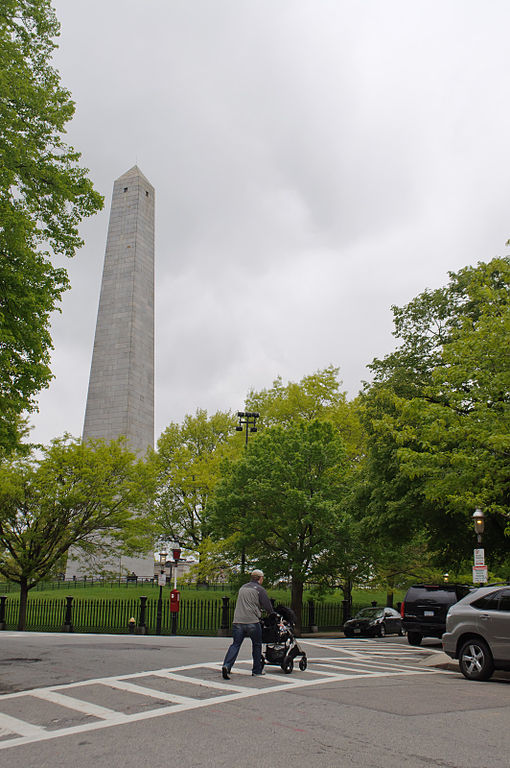
Bunker Hill above Charlestown is home to this obelisk, which is a monument commemorating the colonists who bravely fought to their deaths against the Redcoats. This is also the northern terminus of the Freedom Trail, which started in Boston Common and passed via a number of historical sights in downtown Boston. |
| Date | |
| Source | Bunker Hill |
| Author | InSapphoWeTrust from Los Angeles, California, USA |
| Camera location | | View this and other nearby images on: OpenStreetMap |
|---|
.jpg¶ms=042.376585_N_-071.060857_E_globe:Earth_type:camera_source:Flickr_&language=en)
Licensing edit
.jpg&action=edit§ion=2)
This file is licensed under the Creative Commons Attribution-Share Alike 2.0 Generic license.
- You are free:
- to share – to copy, distribute and transmit the work
- to remix – to adapt the work
- Under the following conditions:
- attribution – You must give appropriate credit, provide a link to the license, and indicate if changes were made. You may do so in any reasonable manner, but not in any way that suggests the licensor endorses you or your use.
- share alike – If you remix, transform, or build upon the material, you must distribute your contributions under the same or compatible license as the original.
| This image, originally posted to Flickr, was reviewed on 27 January 2013 by the administrator or reviewer File Upload Bot (Magnus Manske), who confirmed that it was available on Flickr under the stated license on that date. |
File history
Click on a date/time to view the file as it appeared at that time.
| Date/Time | Thumbnail | Dimensions | User | Comment | |
|---|---|---|---|---|---|
| current | 15:58, 27 January 2013 | | 1,063 × 1,600 (528 KB) | File Upload Bot (Magnus Manske) (talk | contribs) | Transferred from Flickr by User:russavia |
You cannot overwrite this file.
File usage on Commons
There are no pages that use this file.
.jpg&oldid=838567316)